


5,3 km | 8,7 km-effort


Gebruiker


Gratisgps-wandelapplicatie
 SityTrail
IGN / Geografische instituten
SityTrail World
De wereld gaat voor u open
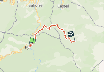
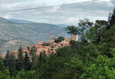
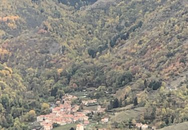
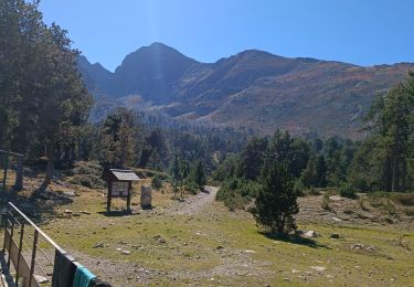
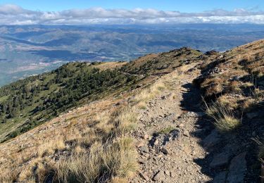
Tocht Stappen van 9,7 km beschikbaar op Occitanië, Pyrénées-Orientales, Py. Deze tocht wordt voorgesteld door LEGUE.
10 Km
800 positifs
130 negatifs


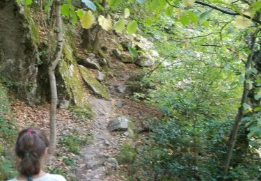
Stappen
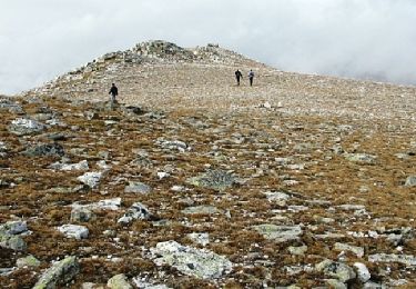
Stappen
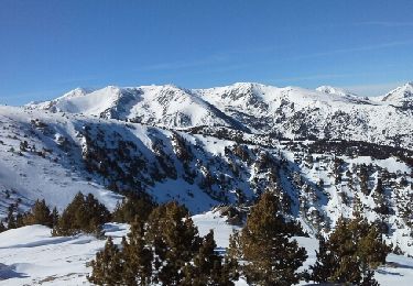
Sneeuwschoenen

Stappen
Stappen
Stappen
Stappen
Stappen
Stappen