


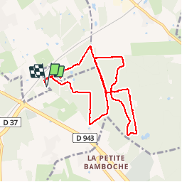

14,9 km | 16,1 km-effort


Utilisateur


Application GPS de randonnée GRATUITE
 SityTrail
IGN / Instituts géographiques
SityTrail World
Le monde est à vous
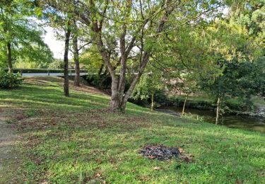
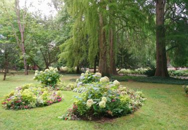
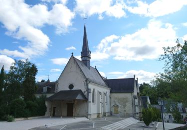
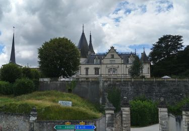
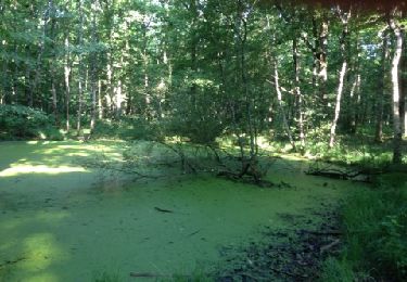
Randonnée Marche de 9,5 km à découvrir à Centre-Val de Loire, Indre-et-Loire, Saint-Avertin. Cette randonnée est proposée par Martinjeanclaude.
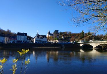
Lee Bois des Hatres
Marche
Marche
Marche
Marche
Marche

Marche
Marche
Marche
Marche