


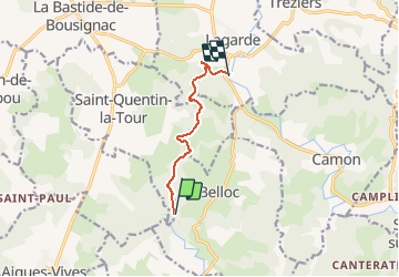

15,8 km | 18,4 km-effort

Utilisateur


Application GPS de randonnée GRATUITE
 SityTrail
IGN / Instituts géographiques
SityTrail World
Le monde est à vous
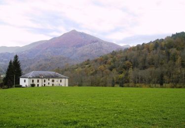
Randonnée Canoë - kayak de 6,6 km à découvrir à Occitanie, Ariège, Belloc. Cette randonnée est proposée par jopost.
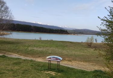
sortie de Pays Pyrénées Cathares art et Histoire sur le Touyre le 21 mai 2017, départ de Léran jusqu'à l'Hers


Marche

V.T.T.

A pied
V.T.T.
Cheval
Cheval
Marche
Marche
