


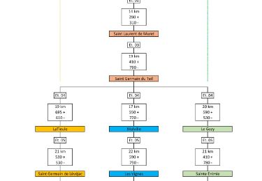
27 km | 34 km-effort

Utilisateur


Application GPS de randonnée GRATUITE
 SityTrail
IGN / Instituts géographiques
SityTrail World
Le monde est à vous
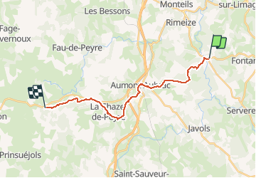
Randonnée Marche de 18,6 km à découvrir à Occitanie, Lozère, Fontans. Cette randonnée est proposée par tracegps.
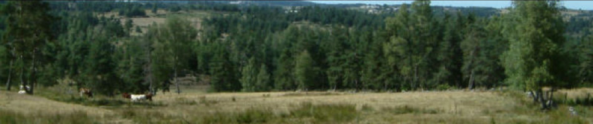
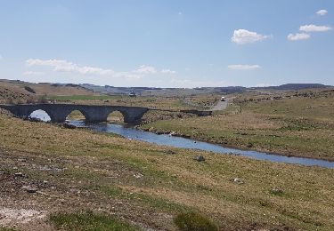
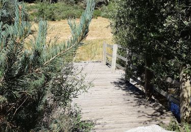
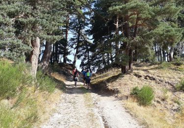
Globalement montante (240m de dénivelée) cette étape du Chemin de Compostelle n'a pas été fatigante en raison du faible kilométrage et du peu de dénivelée. D’autres informations et photos sur le Chemin de Compostelle sont disponibles ICI Balade proposée par « Les Balades et Randonnées de Fred »


Marche

Marche
Marche
Marche

Marche
Marche

Marche
Marche
Marche