


6 km | 9,2 km-effort
Grazac : découvrez les meilleures randonnées : 16 pédestres et 2 à vélo ou VTT. Tous ces circuits, parcours, itinéraires et activités en plein air sont disponibles dans nos applications SityTrail pour smartphones et tablettes.
Marche


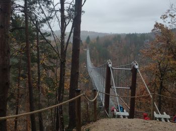
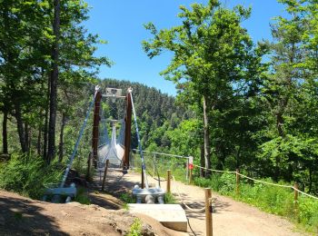
• Depuis Grazac suivre le fléchage Plusieurs parkings à disposition Au milieu de la passerelle vent Belle randonnée
Marche
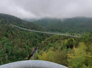
• Attention, le détour au bord du Lignon exige une bonne forme physique pour remonter du Lignon au belvédère (esc alade...
Marche
• Petit circuit plutôt difficile sur un sentier non cartographié mais bien tracé qui longe le ruisseau de Charrerogne e...
Marche
• randonnée ripaton du vendredi
Marche
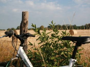
V.T.T.
• Espace VTT FFC Le Velay des 3 Rivières Circuit labellisé par la Fédération Française de Cyclisme. Partons à la découv...
Marche

Marche
• Boucle au départ de l'église de Grazac jusqu'à la passerelle himalayenne Assez facile par tout temps

A pied
• GRAZAC 1
Marche
• Superbe parcours pour descendre, remonter et traverser la passerelle
Marche
• la passerelle sur le Lignon
Marche
Marche
Marche
A pied
A pied

V.T.T.
Autre activité
18 randonnées affichées sur 18
Application GPS de randonnée GRATUITE
 SityTrail
IGN / Instituts géographiques
SityTrail World
Le monde est à vous