


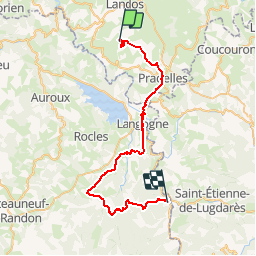

23 km | 30 km-effort


User


FREE GPS app for hiking
 SityTrail
IGN / Geographical institutes
SityTrail World
The world is yours!
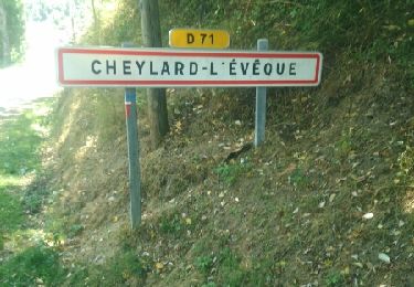
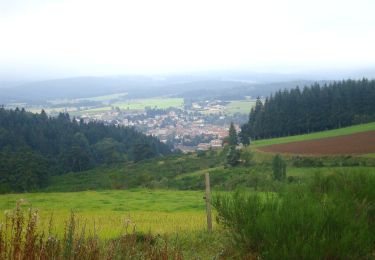
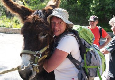
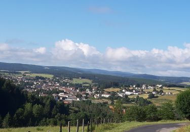
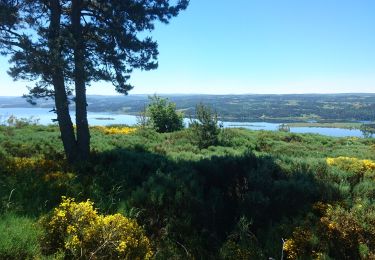
Trail Running of 42 km to be discovered at Auvergne-Rhône-Alpes, Haute-Loire, Rauret. This trail is proposed by laet.
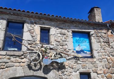
Départ : Arquejols
A : Luc
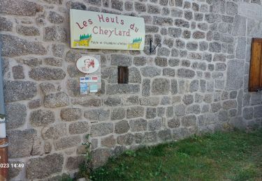
Walking
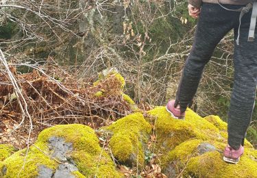
Walking
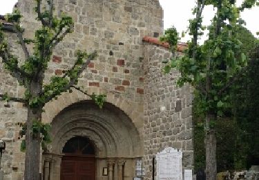
Walking
Walking
Walking
Walking
Walking
Walking
Walking