


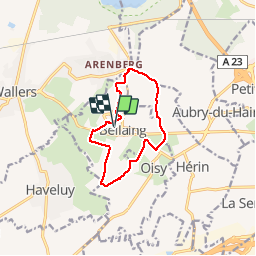

13 km | 14.9 km-effort


User


FREE GPS app for hiking
 SityTrail
IGN / Geographical institutes
SityTrail World
The world is yours!
Trail Walking of 9.6 km to be discovered at Hauts-de-France, Nord, Bellaing. This trail is proposed by papiou.
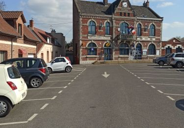
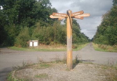
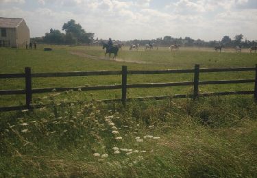
Rdv parking église. face mairie partir à gauche rue Jaurès jusqu'au CD 13. prendre à droite sur 100 m traverser et prendre allée des pommiers puis chemin à vieux saules et rejoindre folle emprise, sur la droite marcher 1Km500 et prendre sur la gauche (à 300') chemin d'ervelon (boueux) puis rejoindre Oisy et Bellaing rue Regnier, rejoindre Hérin et prendre chemin vert sur la gauche,passer devant club hippique jusqu'au CD 13 traverser et rejoindre coucou par chemin du bois au moulin puis chemin des fourches. au coucou par la gauche revenir au départ par cité des mines et rue gras

Walking

Mountain bike
Walking
Walking
Walking

Walking

Walking
Walking
Walking