Trail Walking Clamensane - VALAVOIRE  Pas de Palabiouse , bergerie de Premarche o l s  - Photo

VALAVOIRE Pas de Palabiouse , bergerie de Premarche o l s

© OpenStreetMap contributors
Length
Length
11.7 km
Max alt
Max alt
1684 m
Uphill gradient
Uphill gradient
739 m
Km-Effort
Km-Effort  
22 km
Min alt
Min alt
951 m
Downhill gradient
Downhill gradient
738 m
Boucle
Boucle
Yes
Creation date :
2022-07-25 05:47:08.149
Updated on :
2022-07-25 17:06:37.488

(0 Reviews)

Walking
Walking
3h53
Difficulty : Difficult

Scan this QR Code to open this trail in the SityTrail application

FREE GPS app for hiking

Logo SityTrail SityTrail

IGN / Geographical institutes

Download SityTrail from the App Store Download SityTrail from Google Play

Logo SityTrail SityTrail World

The world is yours!

Download SityTrail from the App Store Download SityTrail from Google Play Download SityTrail on Huawei AppGallery

About

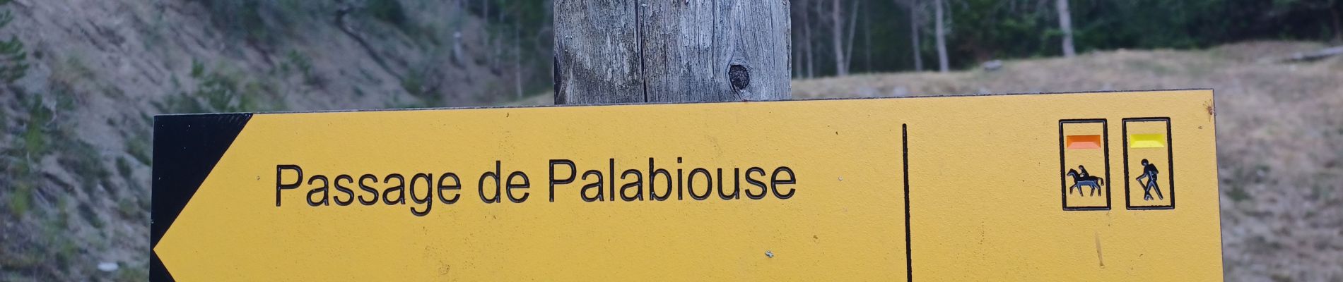
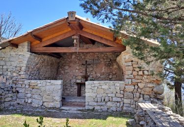
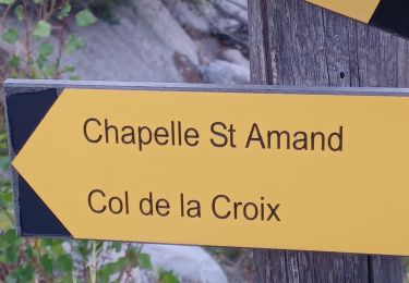
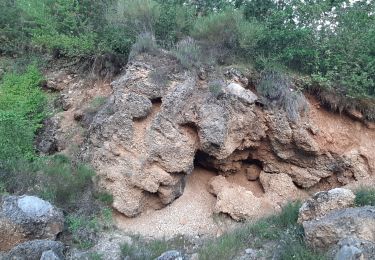
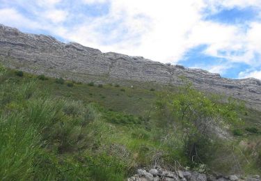
Trail Walking of 11.7 km to be discovered at Provence-Alpes-Côte d'Azur, Alpes-de-Haute-Provence, Clamensane. This trail is proposed by RobinMicheline.

Description

Bien indiquée,  montée douce et ombragée,  facile , agréable

Elevation profile

Photos

Positioning

Country:
France
Region :
Provence-Alpes-Côte d'Azur
Department/Province :
Alpes-de-Haute-Provence
Municipality :
Clamensane
Location:
Unknown
Start:(UTM)
266747 ; 4910000 (32T) N.

Trails nearby

Trail Walking Clamensane - Clamensane - Col de la Croix - Chapelle St-Amand - Photo
Walking
Marco05

Walking

Medium
(1)
Clamensane, Provence-Alpes-Côte d'Azur, Alpes-de-Haute-Provence, France
12.7 km | 22 km-effort
5h 0min
Yes
Trail Walking Clamensane - CLAMENSANE.  TROU DU DIABLR  . CHAPELLE S AMAND . COL LA CROIX . O L M S. IX  - Photo
Walking
RobinMicheline

Walking

Difficult
Clamensane, Provence-Alpes-Côte d'Azur, Alpes-de-Haute-Provence, France
12.5 km | 21 km-effort
3h 27min
Yes
Trail Walking Clamensane - VALAVOIRE.  Pas de Palabrouse.  Fontaine de  Pouille o l s - Photo
Walking
RobinMicheline

Walking

Medium
Clamensane, Provence-Alpes-Côte d'Azur, Alpes-de-Haute-Provence, France
11.9 km | 19.8 km-effort
3h 50min
Yes
Trail Walking La Motte-du-Caire - LA MOTTE DU CAIRE .Le tour de la Blachere o - Photo
Walking
RobinMicheline

Walking

Difficult
La Motte-du-Caire, Provence-Alpes-Côte d'Azur, Alpes-de-Haute-Provence, France
37 km | 67 km-effort
4h 0min
No
Trail Walking La Motte-du-Caire - Rome-36-LaMotteDuCaire-Tallard-20170905 - Photo
Walking
patrickdanilo

Walking

Difficult
La Motte-du-Caire, Provence-Alpes-Côte d'Azur, Alpes-de-Haute-Provence, France
22 km | 33 km-effort
6h 41min
No
Trail Walking Clamensane - La chapelle St Amand - Clamensane  - Photo
Walking
tracegps

Walking

Very difficult
Clamensane, Provence-Alpes-Côte d'Azur, Alpes-de-Haute-Provence, France
12.7 km | 22 km-effort
4h 30min
Yes
Trail Walking Nibles - La boucle de Saint Jacques - Nibles  - Photo
Walking
tracegps

Walking

Difficult
Nibles, Provence-Alpes-Côte d'Azur, Alpes-de-Haute-Provence, France
13.1 km | 18.9 km-effort
3h 30min
Yes
Trail Walking Bayons - Le Tour du Puy - Reynier  - Photo
Walking
tracegps

Walking

Difficult
(1)
Bayons, Provence-Alpes-Côte d'Azur, Alpes-de-Haute-Provence, France
9.3 km | 14.5 km-effort
3h 30min
Yes
Trail Walking Châteaufort - Le ravin de terre basse - Chateaufort - Photo
Walking
tracegps

Walking

Very difficult
(1)
Châteaufort, Provence-Alpes-Côte d'Azur, Alpes-de-Haute-Provence, France
15 km | 24 km-effort
4h 30min
Yes


Close
My subscriptions