


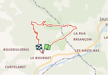

18.7 km | 28 km-effort


User


FREE GPS app for hiking
 SityTrail
IGN / Geographical institutes
SityTrail World
The world is yours!
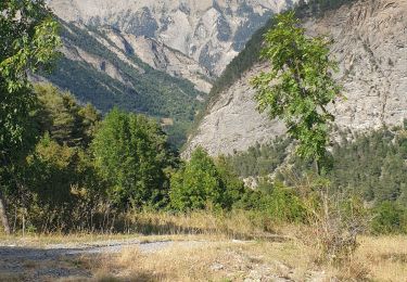
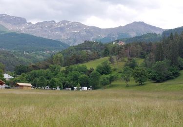
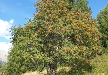
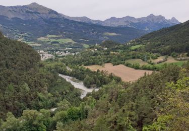
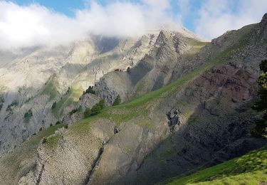
Trail Walking of 7.8 km to be discovered at Provence-Alpes-Côte d'Azur, Alpes-de-Haute-Provence, Faucon-de-Barcelonnette. This trail is proposed by andre06130.
pour ceux craignant le vertiges prendre en bas de la montée la direction Pré de Rata "gauche" ( 1 km)

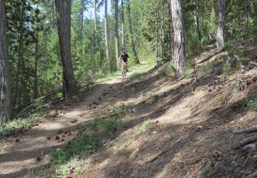
Mountain bike
Mountain bike
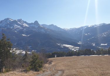
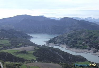
Walking
Walking
Walking
Walking
Walking
Walking
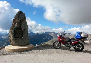
Motorbike