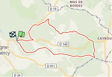


13 km | 15.4 km-effort


User GUIDE


FREE GPS app for hiking
 SityTrail
IGN / Geographical institutes
SityTrail World
The world is yours!
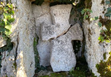
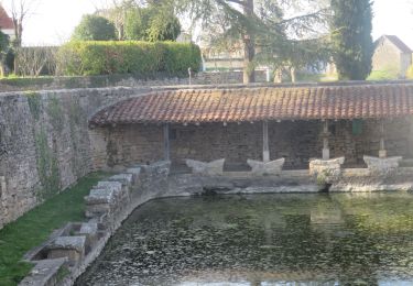
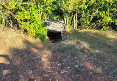
Trail Walking of 9.7 km to be discovered at Occitania, Lot, Limogne-en-Quercy. This trail is proposed by antignacs.


Walking

Walking
Walking

Walking

Walking

Walking
Walking

Walking