


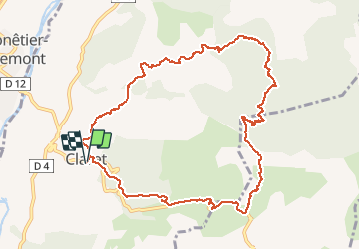

5.6 km | 13.4 km-effort

User


FREE GPS app for hiking
 SityTrail
IGN / Geographical institutes
SityTrail World
The world is yours!
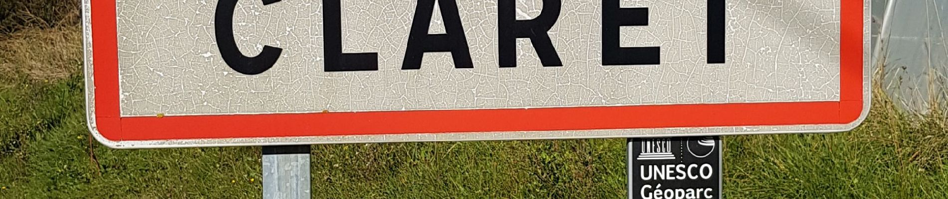
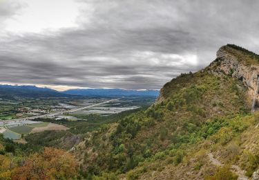
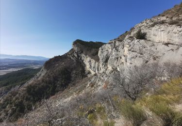
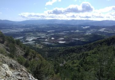
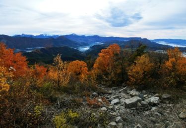
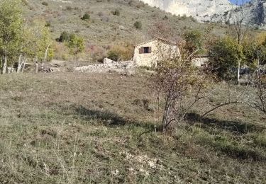
Trail Walking of 12 km to be discovered at Provence-Alpes-Côte d'Azur, Alpes-de-Haute-Provence, Claret. This trail is proposed by claude nier.
Tres belle rando.
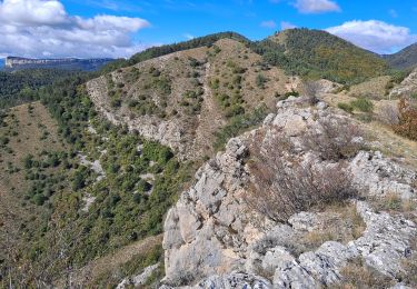
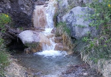
Montee dans les bois avec...champignons.
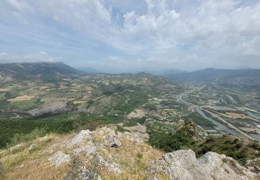
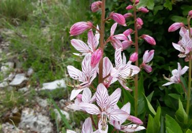
Beau panorama à la9 cime et tout le longt en descendant.
A faire absolument....


Walking
Walking
Walking
Walking
Walking
Walking
Walking
Walking
Walking