


8.1 km | 9.8 km-effort

User


FREE GPS app for hiking
 SityTrail
IGN / Geographical institutes
SityTrail World
The world is yours!
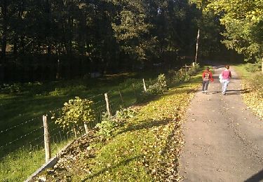
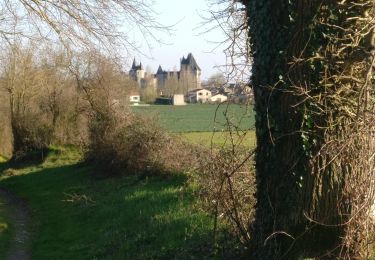
Trail Walking of 12.9 km to be discovered at New Aquitaine, Deux-Sèvres, Germond-Rouvre. This trail is proposed by cagouille79.
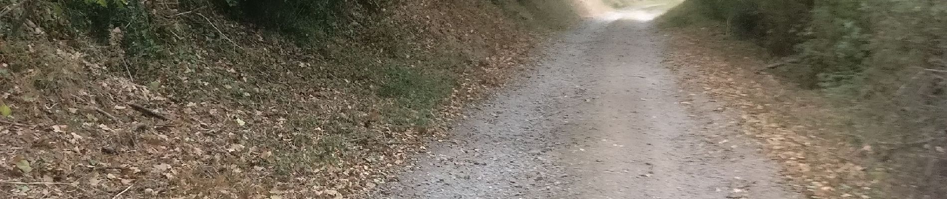
Randonnée très ombragée, idéale par grand soleil.
Les montées sont parfois raides.
Plusieurs passages en montée ou descente sur des lits de pierres (attention aux choix des chaussures).


Walking
Walking
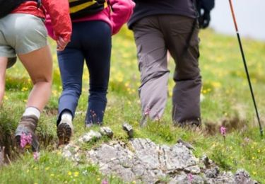
Walking
Walking

Other activity

Walking
Walking

Mountain bike
Walking