


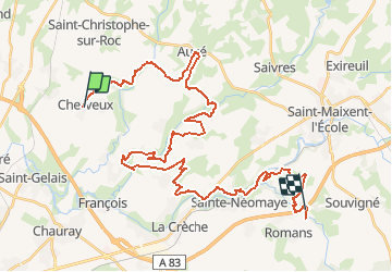

40 km | 50 km-effort


User


FREE GPS app for hiking
 SityTrail
IGN / Geographical institutes
SityTrail World
The world is yours!
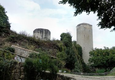
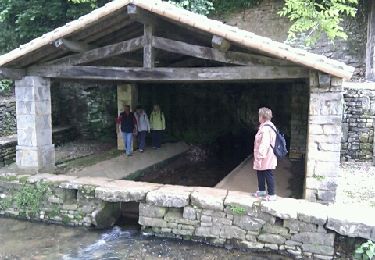
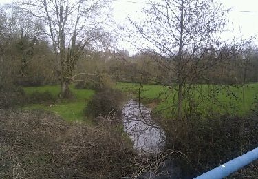
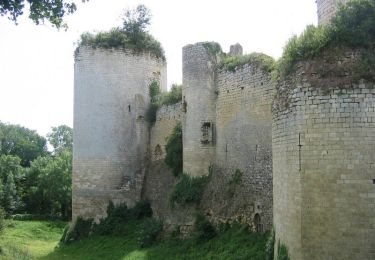
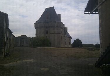
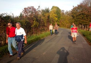
Trail Other activity of 44 km to be discovered at New Aquitaine, Deux-Sèvres, Cherveux. This trail is proposed by rabal85.
cherveus ste neomaye pont autoroute

Horseback riding
Walking
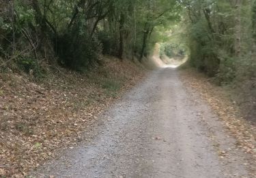
Walking
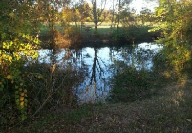
Walking
Walking
Walking
Walking
Walking
Walking