


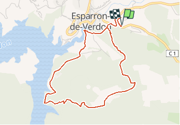


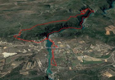
12.7 km | 16.8 km-effort

User


FREE GPS app for hiking
 SityTrail
IGN / Geographical institutes
SityTrail World
The world is yours!
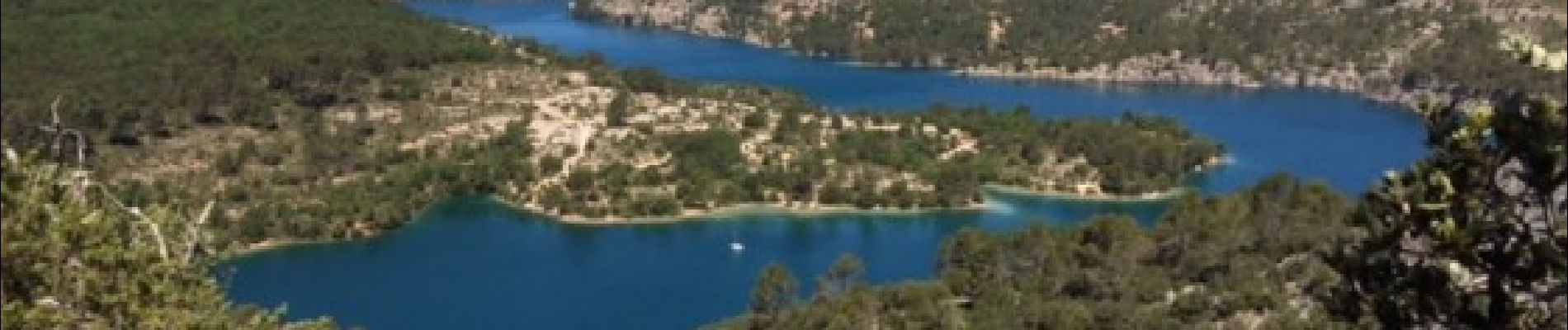
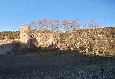
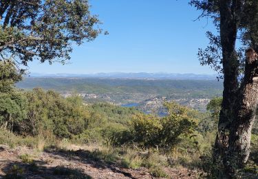
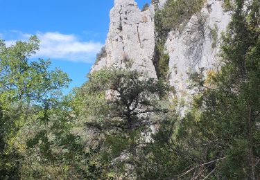
Trail On foot of 5.5 km to be discovered at Provence-Alpes-Côte d'Azur, Alpes-de-Haute-Provence, Esparron-de-Verdon. This trail is proposed by jeromelacoste.
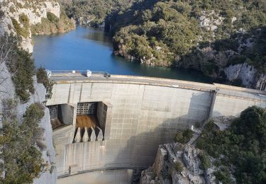
Randonnée très agréable mais avec quelques difficultés, de montée et de descente. Mais des points de vues très jolis.


Walking
Walking
Walking
Walking
Walking

Walking
Walking
Walking

Mountain bike