


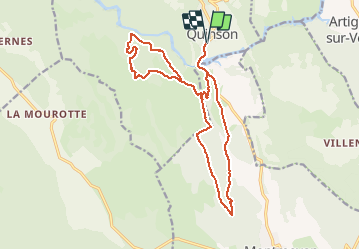


12.7 km | 16.8 km-effort


User


FREE GPS app for hiking
 SityTrail
IGN / Geographical institutes
SityTrail World
The world is yours!
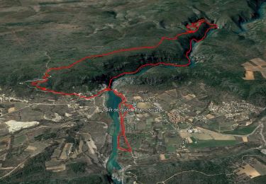
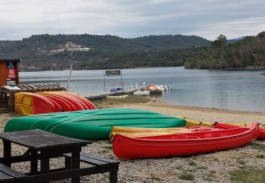
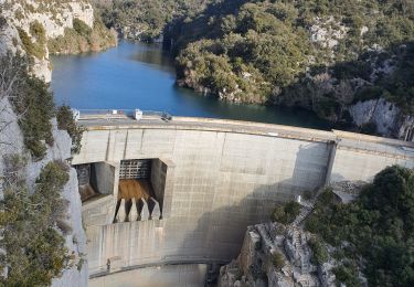
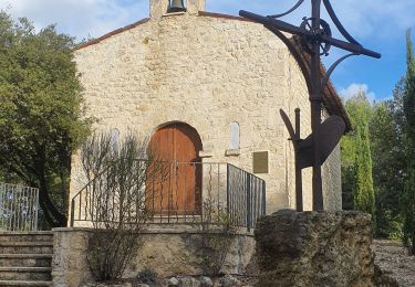
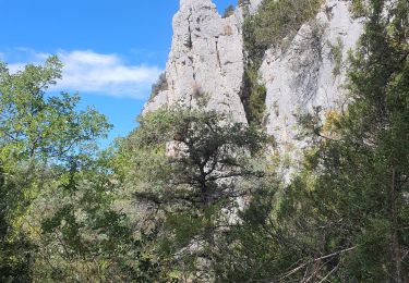
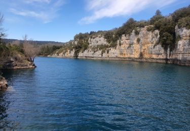
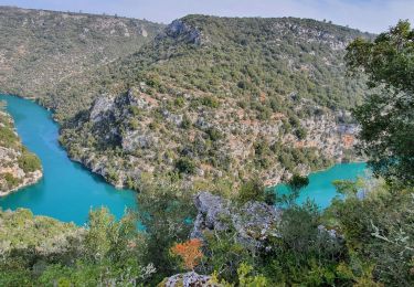
Trail Mountain bike of 19 km to be discovered at Provence-Alpes-Côte d'Azur, Alpes-de-Haute-Provence, Quinson. This trail is proposed by johan004.
quinson - dir. montméyan - les 3 villa - GR99 - plateau malasoque - ravin ste maxime - retour la roquette - route de montmeyan - quinson.
Walking
Walking
Walking
Walking
Walking
Walking
Walking

Walking
Walking