


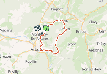

23 km | 35 km-effort


User


FREE GPS app for hiking
 SityTrail
IGN / Geographical institutes
SityTrail World
The world is yours!
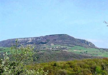
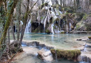
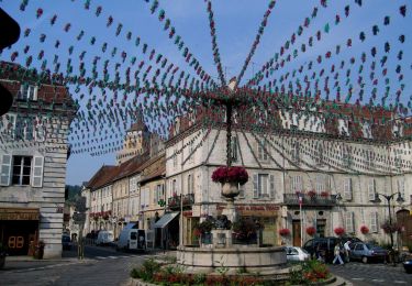
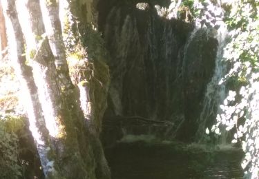
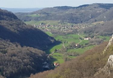
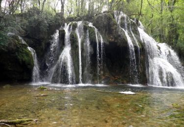
Trail of 22 km to be discovered at Bourgogne-Franche-Comté, Jura, Montigny-lès-Arsures. This trail is proposed by gerardmicheline.
Walking
Walking
Walking
Walking
Walking
On foot
Walking
Walking
Walking