


23 km | 35 km-effort

User


FREE GPS app for hiking
 SityTrail
IGN / Geographical institutes
SityTrail World
The world is yours!
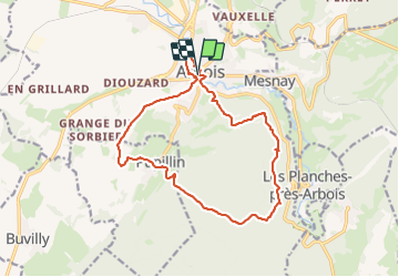
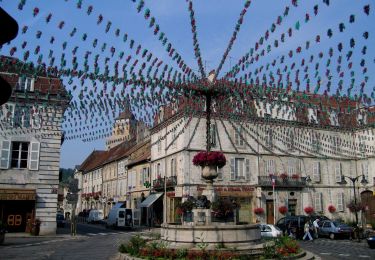
Trail Walking of 16.2 km to be discovered at Bourgogne-Franche-Comté, Jura, Arbois. This trail is proposed by thierry cachot.
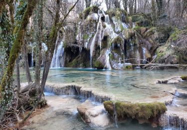
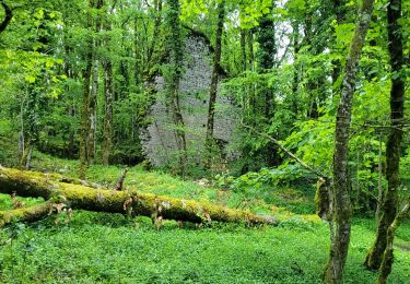
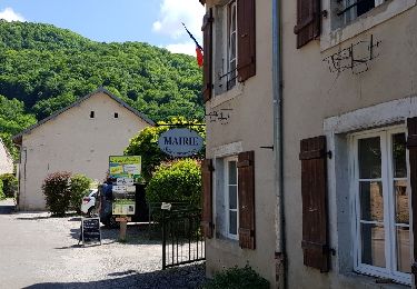
Arbois Pupillin Arbois en passant via la Tour Gloriette, La chapelle Notre Dame de l'Ermitage, le doyen des Hêtres, la clairière des baraques, Pupillin et la traversée des vignes, Arbois en passant par l'église Saint Just, le chemin champêtre qui longe Cuisance et arrive à la Maison Pasteur .


Walking
Walking
Walking
Walking
Walking
Walking

Horseback riding
On foot
Walking
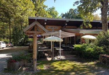
Très sympa.