


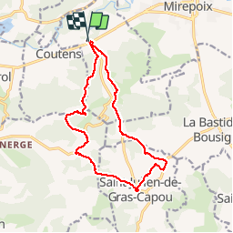

143 km | 194 km-effort

User


FREE GPS app for hiking
 SityTrail
IGN / Geographical institutes
SityTrail World
The world is yours!
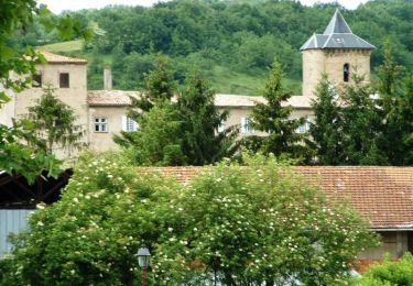
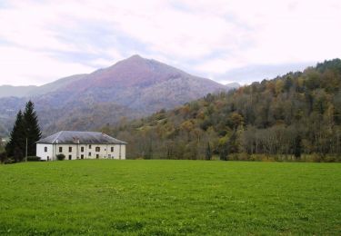
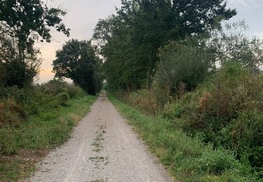
Trail Walking of 15 km to be discovered at Occitania, Ariège, Besset. This trail is proposed by cappelle.
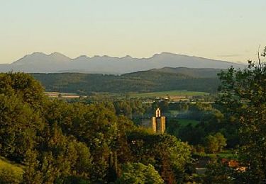
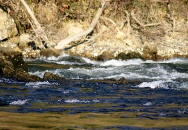
belle balade sur les hauteurs et en sous bois , pas de difficulté .


Motor

Walking
Mountain bike
Equestrian
Equestrian
Equestrian

Walking
Walking
Walking