


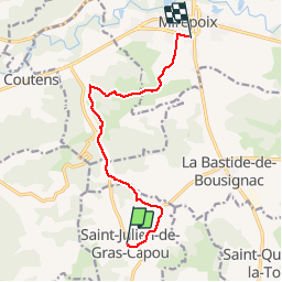

13.5 km | 19.5 km-effort

User


FREE GPS app for hiking
 SityTrail
IGN / Geographical institutes
SityTrail World
The world is yours!
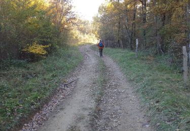
Trail Equestrian of 10.4 km to be discovered at Occitania, Ariège, Saint-Julien-de-Gras-Capou. This trail is proposed by tracegps.
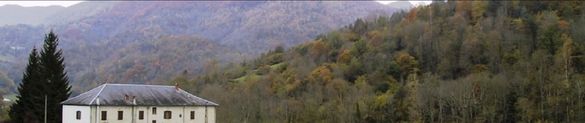
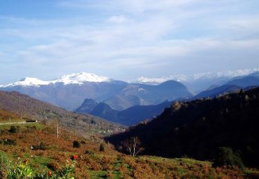
Troisième étape de la boucle de Roquefixade. Balade proposée par le Bureau des Guides Équestres Transpyrénéens


Canoe - kayak
Equestrian

Walking
Walking

Running
Trail