


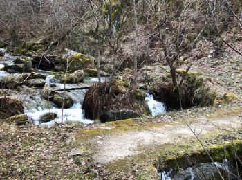
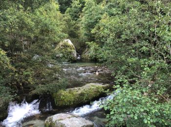
19.4 km | 34 km-effort
Py: Discover the best trails: 39 hiking trails and 1 bike and mountain-bike routes. All these trails, routes and outdoor activities are available in our SityTrail applications for smartphones and tablets.
Walking


Walking
Walking
Walking
Walking
Walking

Walking
Walking
Walking
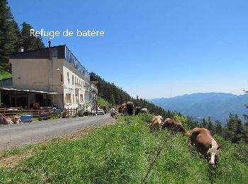
• départ du refuge Da Silva .la piste est ouverte exceptionnellement le jour de la transhumance des chevaux . très joli...

Walking
• départ du refuge Da Silva .la piste est ouverte exceptionnellement le jour de la transhumance des chevaux . très joli...
Walking
• caminem
Walking
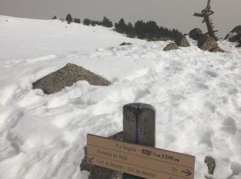
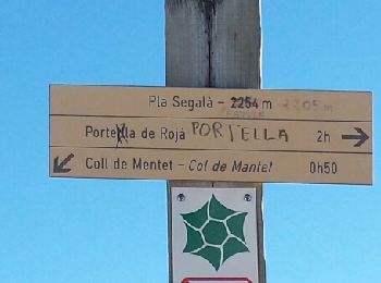
• En passant par le pla Segala et déjeuner au pic Pomale
Snowshoes
• Départ du col de Mantet jolie boucle mais plutôt difficile passant par le Pla de Segala
Walking
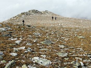
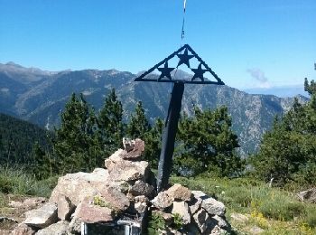
• depuis col de Mantet - retour proposé par une partie des crêtes et les trois pics formant le massif (2099,2114 et 21...
Walking
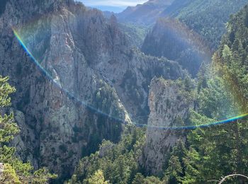
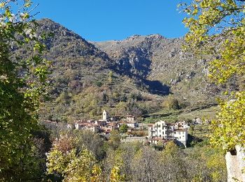
• Beau parcours dans les estives; paysages variés. Possibilité de partir du villa de Mantet ce qui évite de faire la cô...
Walking
Walking
Other activity
• Belle promenade au départ de la Fargue vers le col de Jou

Walking
Walking
• De toute beauté sous un soleil présent dans un ciel bleu azur
20 trails displayed on 45
FREE GPS app for hiking
 SityTrail
IGN / Geographical institutes
SityTrail World
The world is yours!