


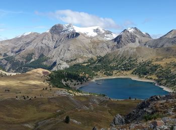
17.1 km | 31 km-effort
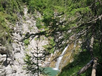
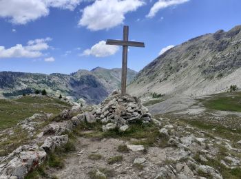
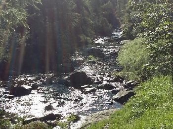
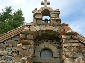
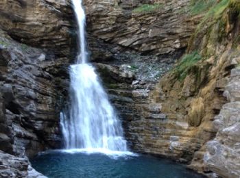
Colmars: Discover the best trails: 59 hiking trails and 20 bike and mountain-bike routes. All these trails, routes and outdoor activities are available in our SityTrail applications for smartphones and tablets.
Walking


Walking
Walking
Walking
Walking
Walking
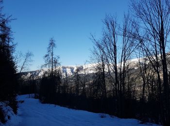
Snowshoes
Walking
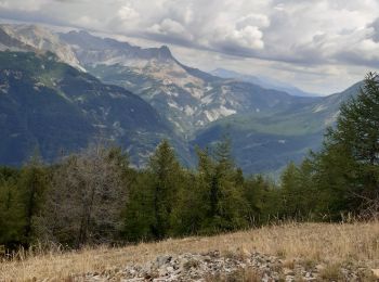
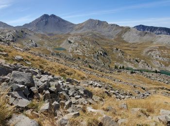
• Privilégier un retour par les lacs de Lignin et la cabane de Bressange pour éviter le pierrier.

Walking
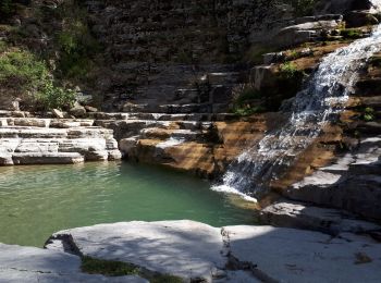
• Jolie rando . Traversée d'une des plus plus forêts des alpes du sud .Nombreuses fleurs au printemps. Compter une heur...
Walking
• magnifique. aller simple, ce n'est pas une boucle
Walking
• Très facile sentier aménagé large
Walking
Walking
Walking
Walking
Walking
Walking
Walking
Mountain bike
Walking
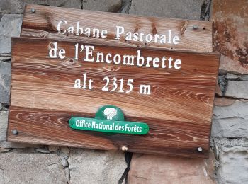
• ( départ classique clignon haut, possibilité de se garer)
20 trails displayed on 89
FREE GPS app for hiking
 SityTrail
IGN / Geographical institutes
SityTrail World
The world is yours!