


21 km | 27 km-effort
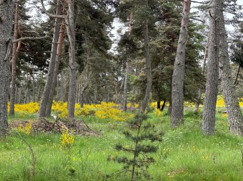
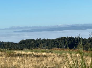
Chanaleilles: Discover the best trails: 35 hiking trails, 8 bike and mountain-bike routes and 3 equestrian circuits. All these trails, routes and outdoor activities are available in our SityTrail applications for smartphones and tablets.
Walking


Walking
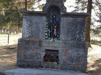
• Saint Jacques
 34.71
34.71
sport
Walking
Walking

Walking
 28.968
sport
 29.21
29.21
sport

Walking
Walking
• Etape 3 du Chemin de Saint Jacques de Compostelle

Walking

Horseback riding

Mountain bike
• Compostelle 2 en VTT etape2. Le Sauvage - Come
Walking
Walking
• GR-65
Mountain bike

Running
Mountain bike
Walking
Walking
20 trails displayed on 50
FREE GPS app for hiking
 SityTrail
IGN / Geographical institutes
SityTrail World
The world is yours!