Isère, Auvergne-Rhône-Alpes, Air: Best trails, routes and walks

679 comments

Isère: Discover the best trails: 2 plane and 1 hot-air balloon. All these trails, routes and outdoor activities are available in our SityTrail applications for smartphones and tablets.
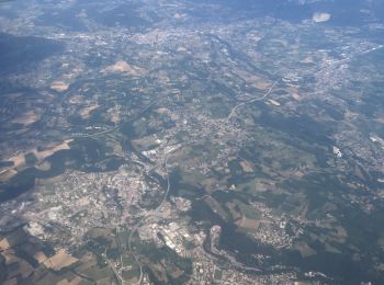

The best trails (3)

Trail Plane Seyssinet-Pariset - Vol - Photo
Plane 128.595
Km

Plane

Seyssinet-Pariset, Auvergne-Rhône-Alpes, Isère, France
129 km | 0 m-effort
17min
0 m
0 m
No
Valery01

Trail Hot-air balloon Villard-de-Lans - Sortie Montgolfière  - Photo
Hot-air balloon 9.189
Km

Hot-air balloon

Villard-de-Lans, Auvergne-Rhône-Alpes, Isère, France
9.2 km | 13.6 km-effort
1h 20min
326 m
359 m
No
pconte

Trail Plane Les Deux Alpes - vol les 2 alpes 28 07 2021 - Photo
Plane 117.289
Km

Plane

Very easy
Les Deux Alpes, Auvergne-Rhône-Alpes, Isère, France
117 km | 379 km-effort
1h 18min
19438 m
20214 m
No
rprotte

3 trails displayed on 3

FREE GPS app for hiking

Logo SityTrail SityTrail

IGN / Geographical institutes

Download SityTrail from the App Store Download SityTrail from Google Play

Logo SityTrail SityTrail World

The world is yours!

Download SityTrail from the App Store Download SityTrail from Google Play Download SityTrail on Huawei AppGallery

Activities

Nearby regions

Close
My subscriptions