


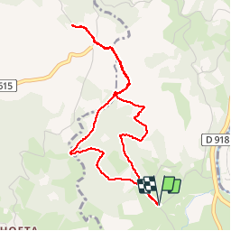

25 km | 41 km-effort


Gebruiker


Gratisgps-wandelapplicatie
 SityTrail
IGN / Geografische instituten
SityTrail World
De wereld gaat voor u open
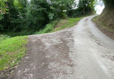
Tocht Stappen van 4,8 km beschikbaar op Nieuw-Aquitanië, Pyrénées-Atlantiques, Ascarat. Deze tocht wordt voorgesteld door so.duchateau.
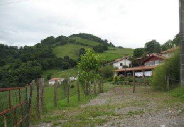
Très jolie balade avec magnifique vue sur StJPP. Monter par le sud et descendre par le nord pour profiter de l'ombre en montée et de la vue en descente.
Stappen
Stappen

Noords wandelen

Stappen
Stappen

Stappen

Stappen

Stappen
Stappen