


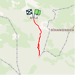

9,3 km | 13,4 km-effort

Gebruiker GUIDE


Gratisgps-wandelapplicatie
 SityTrail
IGN / Geografische instituten
SityTrail World
De wereld gaat voor u open
Tocht Stappen van 9,5 km beschikbaar op Nieuw-Aquitanië, Pyrénées-Atlantiques, Saint-Just-Ibarre. Deze tocht wordt voorgesteld door LouisROGER.
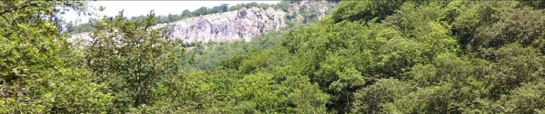
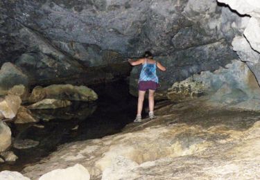
chemin glissant vers le haut après le pont .
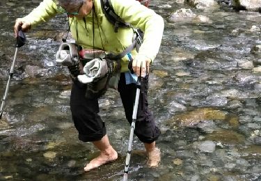
plus facile par le gué.
chemin difficile après la fin de la trace!!!!


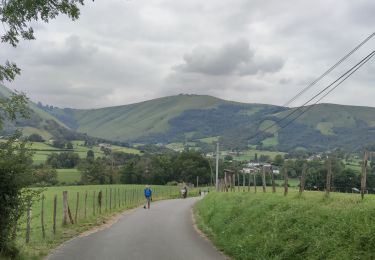
Stappen

Stappen
Stappen
Stappen

Te voet
Stappen
Stappen
Te voet
Stappen