22 km | 32 km-effort
Estaing - Annat
zbozzo
Gebruiker
Lengte
13,2 km
Max. hoogte
574 m
Positief hoogteverschil
422 m
Km-Effort
18,8 km
Min. hoogte
319 m
Negatief hoogteverschil
417 m
Boucle
Ja
Datum van aanmaak :
2014-12-10 00:00:00.0
Laatste wijziging :
2014-12-10 00:00:00.0
2h00
Moeilijkheid : Gemakkelijk
Gratisgps-wandelapplicatie
Over ons
Tocht Paard van 13,2 km beschikbaar op Occitanië, Aveyron, Estaing. Deze tocht wordt voorgesteld door zbozzo.
Beschrijving
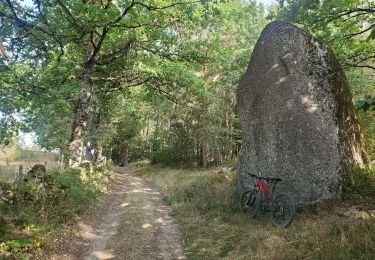
Montée par la piste forestière de Tabust puis descente par la piste de la coursière.
Plaatsbepaling
Land:
France
Regio :
Occitanië
Departement/Provincie :
Aveyron
Gemeente :
Estaing
Locatie:
Unknown
Vertrek:(Dec)
Vertrek:(UTM)
473857 ; 4933745 (31T) N.
Opmerkingen
Wandeltochten in de omgeving
Estaing - Espeyrac - Chemin de St-Jacques de Compostelle
Stappen
Moeilijk
(1)
Estaing,
Occitanië,
Aveyron,
France
23 km | 32 km-effort
4h 15min
Neen
Rallye Estaing 2013 - 15km
Paard
Medium
(1)
Estaing,
Occitanië,
Aveyron,
France
17,4 km | 24 km-effort
2h 59min
Ja
St Jacques Etape 9 par GR6
Stappen
Zeer moeilijk
Sébrazac,
Occitanië,
Aveyron,
France
23 km | 31 km-effort
6h 57min
Neen
A la découverte des trésors - Estaing
Fiets
Moeilijk
Estaing,
Occitanië,
Aveyron,
France
82 km | 101 km-effort
4h 30min
Ja
Estaing - Rallye 2012 - 8km
Paard
Medium
(1)
Estaing,
Occitanië,
Aveyron,
France
8,4 km | 12,1 km-effort
Onbekend
Ja
live Estaing - Golinhac
Stappen
Moeilijk
Estaing,
Occitanië,
Aveyron,
France
15,5 km | 22 km-effort
5h 5min
Neen
gohinlac itinéraire 5 + retour Estaing par gr6
Elektrische fiets
Moeilijk
Sébrazac,
Occitanië,
Aveyron,
France
53 km | 71 km-effort
3h 22min
Neen
estaing-gonilhac
Stappen
Gemakkelijk
Estaing,
Occitanië,
Aveyron,
France
15,2 km | 22 km-effort
3h 32min
Neen