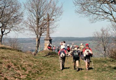
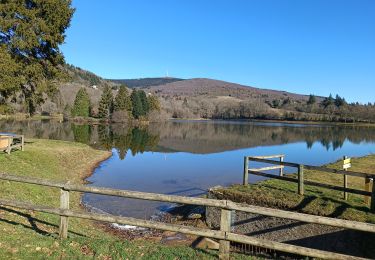
13,5 km | 18,7 km-effort
Beziers J3 v
ericf64
Gebruiker
Lengte
64 km
Max. hoogte
370 m
Positief hoogteverschil
776 m
Km-Effort
75 km
Min. hoogte
168 m
Negatief hoogteverschil
847 m
Boucle
Neen
Datum van aanmaak :
2019-01-15 12:17:45.625
Laatste wijziging :
2019-09-21 11:50:43.27
--
Moeilijkheid : Moeilijk
Gratisgps-wandelapplicatie
Over ons
Tocht Fietstoerisme van 64 km beschikbaar op Occitanië, Tarn, Saint-Amans-Soult. Deze tocht wordt voorgesteld door ericf64.
Beschrijving
par Compostelle
Plaatsbepaling
Land:
France
Regio :
Occitanië
Departement/Provincie :
Tarn
Gemeente :
Saint-Amans-Soult
Locatie:
Unknown
Vertrek:(Dec)
Vertrek:(UTM)
458421 ; 4814251 (31T) N.
Opmerkingen
Wandeltochten in de omgeving
Le sentier des Gentilshommes Verriers - Saint Amand Soult
Stappen
Medium
Saint-Amans-Soult,
Occitanië,
Tarn,
France
19,9 km | 31 km-effort
5h 30min
Ja
Retour Pic du Nore -Cabrespine
Stappen
Zeer moeilijk
Mazamet,
Occitanië,
Tarn,
France
17,2 km | 23 km-effort
4h 50min
Neen
Lou Camin du Lac des St Peyres aux gorges du Banquet
Lopen
Moeilijk
Le Vintrou,
Occitanië,
Tarn,
France
19,3 km | 27 km-effort
2h 30min
Ja
Lou Camin du Lac des St Peyres aux gorges du Banquet
Stappen
Moeilijk
Le Vintrou,
Occitanië,
Tarn,
France
19,3 km | 27 km-effort
4h 30min
Ja
2010-08-09 - 12h12m24
Mountainbike
Heel gemakkelijk
Saint-Amans-Valtoret,
Occitanië,
Tarn,
France
38 km | 51 km-effort
Onbekend
Ja
Athais 1er montagne noir
Mountainbike
Moeilijk
Saint-Amans-Soult,
Occitanië,
Tarn,
France
9,6 km | 18 km-effort
2h 0min
Ja
roc de peyremaux/stéle des aviateurs
Te voet
Moeilijk
Albine,
Occitanië,
Tarn,
France
15,5 km | 25 km-effort
Onbekend
Ja