

Arreau / Montious

dbellanger
Gebruiker

Lengte
21 km

Max. hoogte
2159 m

Positief hoogteverschil
1712 m

Km-Effort
44 km

Min. hoogte
705 m

Negatief hoogteverschil
1710 m
Boucle
Ja
Datum van aanmaak :
2014-12-10 00:00:00.0
Laatste wijziging :
2014-12-10 00:00:00.0
4h29
Moeilijkheid : Moeilijk

Gratisgps-wandelapplicatie
Over ons
Tocht Noords wandelen van 21 km beschikbaar op Occitanië, Hautes-Pyrénées, Arreau. Deze tocht wordt voorgesteld door dbellanger.
Beschrijving
De Arreau au Montious par les crêtes à l'aller.
En période hivernale, prevoir les raquettes.
Plaatsbepaling
Land:
France
Regio :
Occitanië
Departement/Provincie :
Hautes-Pyrénées
Gemeente :
Arreau
Locatie:
Unknown
Vertrek:(Dec)
Vertrek:(UTM)
284432 ; 4753647 (31T) N.
Opmerkingen
Wandeltochten in de omgeving
Lac d'Arou - Payolle


Stappen
Medium
(4)
Ancizan,
Occitanië,
Hautes-Pyrénées,
France

9,8 km | 14,9 km-effort
3h 30min
Ja

raquet 1


Sneeuwschoenen
Gemakkelijk
(1)
Campan,
Occitanië,
Hautes-Pyrénées,
France

4,9 km | 7,2 km-effort
2h 10min
Ja

payolle


Stappen
Heel gemakkelijk
(1)
Campan,
Occitanië,
Hautes-Pyrénées,
France

6,5 km | 8,2 km-effort
1h 52min
Ja
Lanson


Stappen
Gemakkelijk
Lançon,
Occitanië,
Hautes-Pyrénées,
France

7 km | 11 km-effort
2h 20min
Ja
lac d'Arou Ancizan


Stappen
Gemakkelijk
Ancizan,
Occitanië,
Hautes-Pyrénées,
France

5,5 km | 7,5 km-effort
1h 33min
Neen
parcours 9 km Lac de Payolle


Noords wandelen
Heel gemakkelijk
Campan,
Occitanië,
Hautes-Pyrénées,
France

8,7 km | 11,7 km-effort
Onbekend
Ja

Hourquette d'Arreau par Barrancoueu


Stappen
Medium
Barrancoueu,
Occitanië,
Hautes-Pyrénées,
France

12,3 km | 23 km-effort
5h 56min
Ja
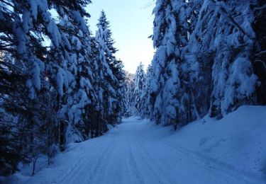
Pla des Bouhouèrès - Payolle


Sneeuwschoenen
Moeilijk
Campan,
Occitanië,
Hautes-Pyrénées,
France

13,6 km | 24 km-effort
6h 30min
Ja
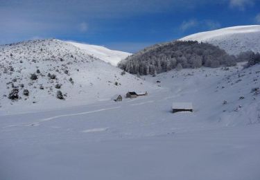
Le Plo Del Naou - Payolle


Sneeuwschoenen
Moeilijk
Campan,
Occitanië,
Hautes-Pyrénées,
France

9,8 km | 18,3 km-effort
6h 45min
Ja


 SityTrail


