11,6 km | 16,5 km-effort
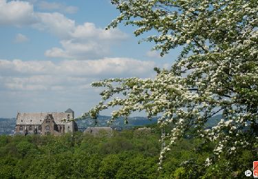
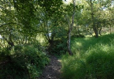
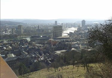
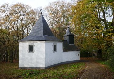
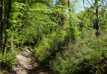
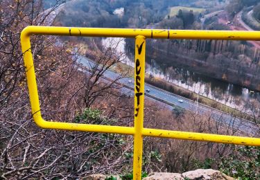
Grivegnée - Chapelle Ste Anne - Bois de Beyne - Haute Ransy (boucle)
pscheven
Gebruiker ADMINGUIDE
Lengte
8,4 km
Max. hoogte
225 m
Positief hoogteverschil
204 m
Km-Effort
11,2 km
Min. hoogte
89 m
Negatief hoogteverschil
204 m
Boucle
Ja
Datum van aanmaak :
2016-03-09 00:00:00.0
Laatste wijziging :
2016-03-09 00:00:00.0
1h54
Moeilijkheid : Gemakkelijk
Gratisgps-wandelapplicatie
Over ons
Tocht Stappen van 8,4 km beschikbaar op Wallonië, Luik, Luik. Deze tocht wordt voorgesteld door pscheven.
Beschrijving
Grivegnée - Chapelle Ste Anne - Bois de Beyne - Haute Ransy (boucle)
POI's
Plaatsbepaling
Land:
Belgium
Regio :
Wallonië
Departement/Provincie :
Luik
Gemeente :
Luik
Locatie:
Grivegnée
Vertrek:(Dec)
Vertrek:(UTM)
684943 ; 5611073 (31U) N.
Opmerkingen
Wandeltochten in de omgeving
RB-Lg-21_Chaudfontaine_via-racc-1-et-2
Stappen
Moeilijk
(8)
Chaudfontaine,
Wallonië,
Luik,
Belgium
3h 45min
Ja
RB-Lg-21_Chaudfontaine
Stappen
(14)
Chaudfontaine,
Wallonië,
Luik,
Belgium
18 km | 26 km-effort
5h 56min
Ja
Chaudfontaine, Natura 2000 - Des sites qui valent le détour, Lg7
Stappen
Moeilijk
(14)
Chaudfontaine,
Wallonië,
Luik,
Belgium
5,3 km | 8,7 km-effort
1h 48min
Ja
Nuit du scoutisme - Liège
Stappen
Gemakkelijk
(12)
Luik,
Wallonië,
Luik,
Belgium
4,2 km | 6 km-effort
1h 19min
Ja
coteaux de la citadelle liège
Stappen
Medium
(6)
Luik,
Wallonië,
Luik,
Belgium
14,3 km | 19,8 km-effort
7h 4min
Ja
GG-Lg-10_Angleur - Nessonvaux
Stappen
Zeer moeilijk
(2)
Luik,
Wallonië,
Luik,
Belgium
22 km | 32 km-effort
6h 27min
Neen
RB-Lg-21_Chaudfontaine_via-racc-1
Stappen
Zeer moeilijk
(3)
Chaudfontaine,
Wallonië,
Luik,
Belgium
14,9 km | 22 km-effort
5h 1min
Ja
liege st lambert versant gauche entre ville et nature
Stappen
Medium
(1)
Luik,
Wallonië,
Luik,
Belgium
10,5 km | 14 km-effort
2h 31min
Ja
La découverte de Sauheid et rocher du bout du monde
Stappen
Medium
(1)
Chaudfontaine,
Wallonië,
Luik,
Belgium
7,8 km | 10,2 km-effort
2h 18min
Ja