


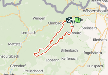

23 km | 32 km-effort


Gebruiker


Gratisgps-wandelapplicatie
 SityTrail
IGN / Geografische instituten
SityTrail World
De wereld gaat voor u open
Tocht Andere activiteiten van 24 km beschikbaar op Grand Est, Bas-Rhin, Rott. Deze tocht wordt voorgesteld door LUTZMarc.
A travers sous bois , trés agréable quand il fait chaud.
A travers le vestige de la ligne Maginot.

Mountainbike
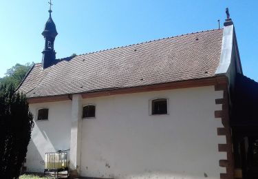
Te voet
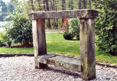
Te voet
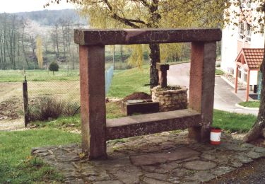
Te voet
Te voet
Te voet
Te voet
Te voet
Te voet