

De Mulhouse à Bruebach par le Tannenwald

argonneuweg
Gebruiker

Lengte
8,4 km

Max. hoogte
364 m

Positief hoogteverschil
197 m

Km-Effort
11 km

Min. hoogte
273 m

Negatief hoogteverschil
198 m
Boucle
Ja
Datum van aanmaak :
2018-06-26 13:40:21.016
Laatste wijziging :
2020-12-26 16:34:53.455
2h35
Moeilijkheid : Gemakkelijk

Gratisgps-wandelapplicatie
Over ons
Tocht Stappen van 8,4 km beschikbaar op Grand Est, Haut-Rhin, Mulhouse. Deze tocht wordt voorgesteld door argonneuweg.
Beschrijving
Suivre le cercle rouge, puis le rectangle jaune jusqu'à Bruebach, et revenir ensuite en suivant le rectangle jaune.
Promenade facile et abritée.
Plaatsbepaling
Land:
France
Regio :
Grand Est
Departement/Provincie :
Haut-Rhin
Gemeente :
Mulhouse
Locatie:
Unknown
Vertrek:(Dec)
Vertrek:(UTM)
375910 ; 5288160 (32T) N.
Opmerkingen
Wandeltochten in de omgeving

20230904 - Mulhouse - Visite


Stappen
Gemakkelijk
(1)
Mulhouse,
Grand Est,
Haut-Rhin,
France

4,2 km | 4,6 km-effort
1h 23min
Ja
Promenade circulaire - Noennenbruch - Anneau rouge


Te voet
Gemakkelijk
Lutterbach,
Grand Est,
Haut-Rhin,
France

6,6 km | 7,3 km-effort
1h 39min
Neen
Anneau rouge


Te voet
Gemakkelijk
Mulhouse,
Grand Est,
Haut-Rhin,
France

7,4 km | 9,7 km-effort
2h 11min
Ja
Mulhouse / Ferrette..02/05/2024..les Marcheurs


Stappen
Zeer moeilijk
Riedisheim,
Grand Est,
Haut-Rhin,
France

37 km | 48 km-effort
4h 9min
Neen
circuit circulaire du Rothlaub


Stappen
Heel gemakkelijk
Riedisheim,
Grand Est,
Haut-Rhin,
France

8,3 km | 10,7 km-effort
1h 45min
Ja

Montreux-Vieux


Elektrische fiets
Gemakkelijk
Zillisheim,
Grand Est,
Haut-Rhin,
France

69 km | 75 km-effort
4h 0min
Ja
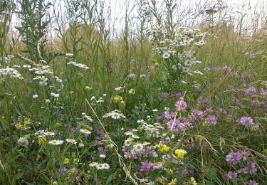
promenade champêtre


Andere activiteiten
Heel gemakkelijk
Rixheim,
Grand Est,
Haut-Rhin,
France

6,4 km | 8 km-effort
1h 50min
Ja
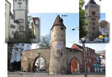
Grand Est - Ligne 4 - Paris Mulhouse (section de :Montreux-Vieux à Mulhouse)


Andere activiteiten
Heel gemakkelijk
Mulhouse,
Grand Est,
Haut-Rhin,
France

36 km | 39 km-effort
5min
Neen
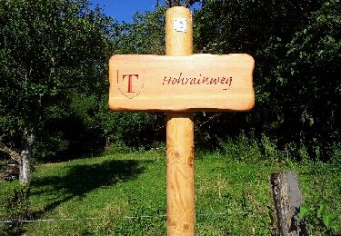
Zillisheim


Stappen
Gemakkelijk
Zillisheim,
Grand Est,
Haut-Rhin,
France

4,7 km | 6,3 km-effort
1h 10min
Ja


 SityTrail


