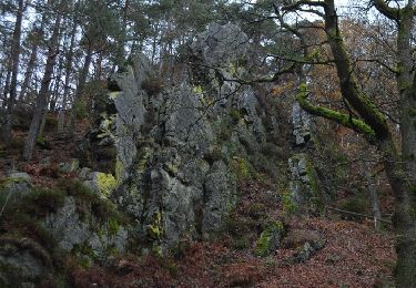
Tocht Mountainbike Jalhay - Surister Fagnes Surister - Photo

Surister Fagnes Surister

 BERGMANSGUY
BERGMANSGUY

Gebruiker

© OpenStreetMap contributors
Lengte
Lengte
30 km
Max. hoogte
Max. hoogte
616 m
Positief hoogteverschil
691 m
Km-Effort
Km-Effort  
39 km
Min. hoogte
Min. hoogte
281 m
Negatief hoogteverschil
691 m
Boucle
Boucle
Ja
Datum van aanmaak :
2018-06-26 13:35:33.796
Laatste wijziging :
2018-06-26 13:35:33.796

(1 Bericht)

Mountainbike
Mountainbike
2h31
Moeilijkheid : Medium

Scan deze QR-code om de tocht te openen in de SityTrail-applicatie

Gratisgps-wandelapplicatie

Logo SityTrail SityTrail

IGN / Geografische instituten

SityTrail uit de App Store downloaden SityTrail uit Google Play downloaden

Logo SityTrail SityTrail World

De wereld gaat voor u open

SityTrail uit de App Store downloaden SityTrail uit Google Play downloaden SityTrail op Huawei AppGallery downloaden

Over ons

Tocht Mountainbike van 30 km beschikbaar op Wallonië, Luik, Jalhay. Deze tocht wordt voorgesteld door BERGMANSGUY.

Beschrijving

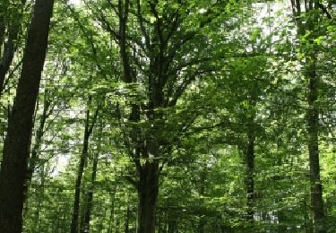
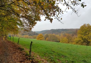
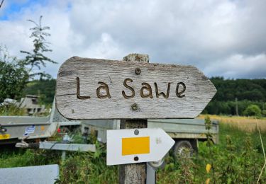
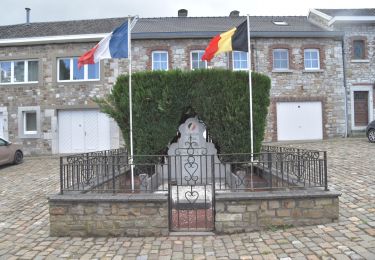
Surister Charneux Moulin de Dison Gospinal dans un virage droit prendre à gauche direction les fagnes après un long parcour, arrivée au pont de Belleheid, après le restaurant, prendre directement à droite un petit chemin qui suit la hoegne, arrivée au Mouli Thorez, remontée vers le Roslin, prendre à droite direction ateliers communaux, quelques détours dans les bois et arrivée sur la Hoegne, au pied du croupet du moulin petite montée raide à droite qui suit la Hoegne, retour vers Roymompre, très méchante montée pour remonter en direction de Surister .

Hoogteprofiel

Plaatsbepaling

Land:
Belgium
Regio :
Wallonië
Departement/Provincie :
Luik
Gemeente :
Jalhay
Locatie:
Jalhay
Vertrek:(Dec)
Vertrek:(UTM)
707882 ; 5604550 (31U) N.

Opmerkingen

Gelieve in te loggen om een commentaar of een beoordeling achter te laten


a


Wandeltochten in de omgeving

Tocht Stappen Jalhay - Solwaster. Natura 2000, des sites qui valent le détour. Lg8 - Photo
Stappen
GUIDE+

Stappen

Moeilijk
(9)
Jalhay, Wallonië, Luik, Belgium
6,8 km | 9,1 km-effort
1h 58min
Ja
Tocht Stappen Verviers - Grand vivier - Cossart - Photo
Stappen
simoan

Stappen

Gemakkelijk
(5)
Verviers, Wallonië, Luik, Belgium
4,7 km | 6,4 km-effort
1h 26min
Ja
Tocht Stappen Jalhay - La Gileppe - Bois de la Borchêne  - Photo
Stappen
GUIDE
mumu.larandonneuse

Stappen

Gemakkelijk
(3)
Jalhay, Wallonië, Luik, Belgium
7,6 km | 9,8 km-effort
2h 13min
Ja
Tocht Stappen Theux - 20220901 - Jehanster 5.3 Km - Photo
Stappen
GUIDE
pierreh01

Stappen

Medium
(1)
Theux, Wallonië, Luik, Belgium
5,3 km | 6,8 km-effort
1h 32min
Ja
Tocht Stappen Jalhay - 2021-11-16_21h27m43_Cirkwi-Balade_à_Jalhay-Royompré_-_47 - Photo
Stappen
GUIDE
mumu.larandonneuse

Stappen

Gemakkelijk
(2)
Jalhay, Wallonië, Luik, Belgium
11 km | 13,9 km-effort
3h 9min
Ja
Tocht Stappen Jalhay - 2021-11-16_21h12m11_Cirkwi-Solwaster_Sawe_-_balade_56_B (1) - Photo
Stappen
GUIDE
mumu.larandonneuse

Stappen

Medium
(3)
Jalhay, Wallonië, Luik, Belgium
8,5 km | 11,4 km-effort
2h 36min
Ja
Tocht Stappen Jalhay - 20210205 - La Gileppe 7.3 Km - Photo
Stappen
GUIDE
pierreh01

Stappen

Medium
(1)
Jalhay, Wallonië, Luik, Belgium
7,6 km | 9,9 km-effort
2h 24min
Ja
Tocht Stappen Limburg - 20200606 - Hèvremont 8 Km - Photo
Stappen
GUIDE
pierreh01

Stappen

Moeilijk
(1)
Limburg, Wallonië, Luik, Belgium
7,9 km | 10,7 km-effort
1h 34min
Ja
Tocht Lopen Jalhay - Jalhay-Trail-26km - Photo
Lopen
florkin

Lopen

Moeilijk
(9)
Jalhay, Wallonië, Luik, Belgium
26 km | 34 km-effort
3h 0min
Ja


Sluiten
Mijn abonnementen