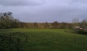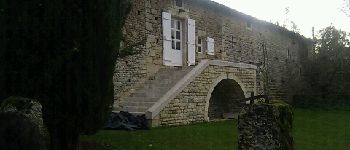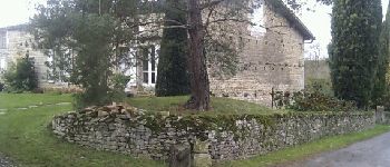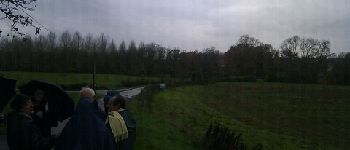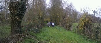

Saint-Gelais 6-12-2011

olaze
Gebruiker

Lengte
8,9 km

Max. hoogte
64 m

Positief hoogteverschil
114 m

Km-Effort
10,4 km

Min. hoogte
28 m

Negatief hoogteverschil
114 m
Boucle
Ja
Datum van aanmaak :
2014-12-10 00:00:00.0
Laatste wijziging :
2014-12-10 00:00:00.0
2h15
Moeilijkheid : Gemakkelijk

Gratisgps-wandelapplicatie
Over ons
Tocht Stappen van 8,9 km beschikbaar op Nieuw-Aquitanië, Deux-Sèvres, Saint-Gelais. Deze tocht wordt voorgesteld door olaze.
Beschrijving
Promenade dans la campagne au départ de St Gelais.Valloné.Sèvres Niortaise.
Prieuré d''Availles.
Club rando Bessines.
Plaatsbepaling
Land:
France
Regio :
Nieuw-Aquitanië
Departement/Provincie :
Deux-Sèvres
Gemeente :
Saint-Gelais
Locatie:
Unknown
Vertrek:(Dec)
Vertrek:(UTM)
700613 ; 5139707 (30T) N.
Opmerkingen
Wandeltochten in de omgeving
Echiré: balade des 3 châteaux


Stappen
Medium
Échiré,
Nieuw-Aquitanië,
Deux-Sèvres,
France

6,5 km | 7,2 km-effort
2h 41min
Ja
2019-06-06 VTT vers Echiré


Mountainbike
Gemakkelijk
Chauray,
Nieuw-Aquitanië,
Deux-Sèvres,
France

22 km | 25 km-effort
1h 30min
Ja
2016-10-31 Échiré Ternanteuil Échiré


Stappen
Gemakkelijk
Échiré,
Nieuw-Aquitanië,
Deux-Sèvres,
France

11,9 km | 13,4 km-effort
2h 55min
Ja
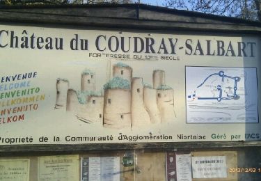
Coudray-Salbart (6km)


Stappen
Medium
Échiré,
Nieuw-Aquitanië,
Deux-Sèvres,
France

5,8 km | 7,2 km-effort
2h 4min
Ja
Cherveux- 9,1km


Stappen
Medium
Cherveux,
Nieuw-Aquitanië,
Deux-Sèvres,
France

9,1 km | 10,5 km-effort
2h 19min
Ja
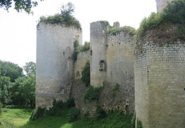
Mélusine au bord de la Sèvre - Echiré


Stappen
Medium
Échiré,
Nieuw-Aquitanië,
Deux-Sèvres,
France

11,6 km | 13,1 km-effort
2h 49min
Ja
Cherveux . (ATSCAF) 10km


Stappen
Gemakkelijk
Cherveux,
Nieuw-Aquitanië,
Deux-Sèvres,
France

10,1 km | 11,8 km-effort
2h 42min
Ja
2012-08-21


Mountainbike
Medium
Chauray,
Nieuw-Aquitanië,
Deux-Sèvres,
France

32 km | 37 km-effort
2h 14min
Ja
Chauray


Stappen
Gemakkelijk
Chauray,
Nieuw-Aquitanië,
Deux-Sèvres,
France

8,7 km | 9,6 km-effort
2h 7min
Ja


 SityTrail


