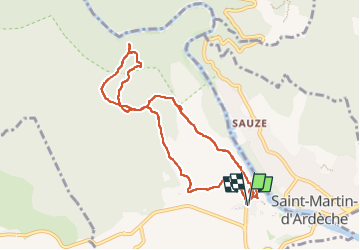

12,6 km | 17 km-effort


Gebruiker


Gratisgps-wandelapplicatie
 SityTrail
IGN / Geografische instituten
SityTrail World
De wereld gaat voor u open
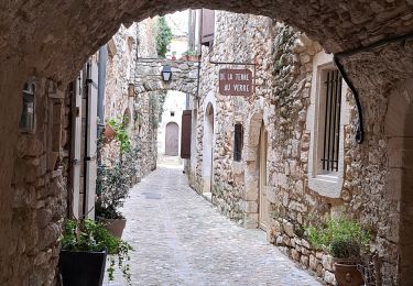
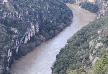
Tocht Stappen van 9,6 km beschikbaar op Occitanië, Gard, Aiguèze. Deze tocht wordt voorgesteld door fario.
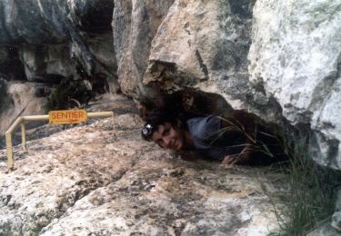
Rando sympa pour un petit groupe de 7 , par une belle journée, mais très ventée . Très beaux panoramas sur la Cèze magnifique. Balade courte, mais très agréable; complétée par la visite d'Aiguèze très beau village, bien fleuri.


Stappen
Stappen
Stappen

Stappen
Stappen

Stappen
Stappen