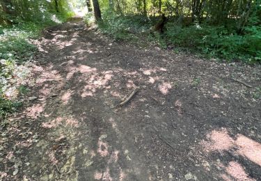
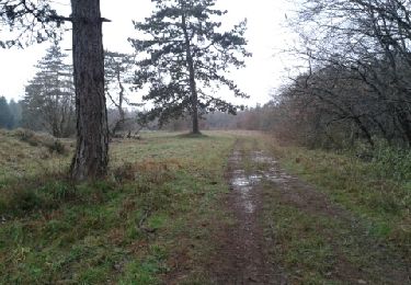
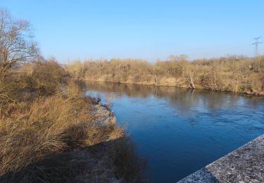
10 km | 12,6 km-effort
2011-11-29 17h53m01
virginieHurpeau
Gebruiker
Lengte
20 km
Max. hoogte
394 m
Positief hoogteverschil
385 m
Km-Effort
25 km
Min. hoogte
239 m
Negatief hoogteverschil
384 m
Boucle
Ja
Datum van aanmaak :
2014-12-10 00:00:00.0
Laatste wijziging :
2014-12-10 00:00:00.0
4h05
Moeilijkheid : Onbekend
Gratisgps-wandelapplicatie
Over ons
Tocht Stappen van 20 km beschikbaar op Grand Est, Meurthe-et-Moselle, Maizières. Deze tocht wordt voorgesteld door virginieHurpeau.
Plaatsbepaling
Land:
France
Regio :
Grand Est
Departement/Provincie :
Meurthe-et-Moselle
Gemeente :
Maizières
Locatie:
Unknown
Vertrek:(Dec)
Vertrek:(UTM)
283337 ; 5385509 (32U) N.
Opmerkingen
Wandeltochten in de omgeving
Circuit du Bois de Feys
Te voet
Gemakkelijk
Thuilley-aux-Groseilles,
Grand Est,
Meurthe-et-Moselle,
France
2h 52min
Neen
Bainville sur Madon
Stappen
Medium
(3)
Bainville-sur-Madon,
Grand Est,
Meurthe-et-Moselle,
France
18,3 km | 23 km-effort
4h 15min
Ja
Sexey Aux Forges
Stappen
Zeer moeilijk
Sexey-aux-Forges,
Grand Est,
Meurthe-et-Moselle,
France
31 km | 38 km-effort
2h 38min
Neen
BAINVILLE SUR MADON - CIRCUIT VOIVRE ET JACQUES CALLOT
Stappen
Medium
Bainville-sur-Madon,
Grand Est,
Meurthe-et-Moselle,
France
19,8 km | 24 km-effort
5h 44min
Ja
sentier des croix
Stappen
Heel gemakkelijk
(1)
Viterne,
Grand Est,
Meurthe-et-Moselle,
France
11,6 km | 13,6 km-effort
3h 10min
Ja
viterne du 14.12.2013
Stappen
Gemakkelijk
(2)
Maizières,
Grand Est,
Meurthe-et-Moselle,
France
7,6 km | 9,5 km-effort
2h 6min
Neen
Chaligny 1
Stappen
Gemakkelijk
(1)
Chaligny,
Grand Est,
Meurthe-et-Moselle,
France
4,9 km | 6,3 km-effort
1h 20min
Ja
Randoguide
Stappen
Medium
(2)
Maizières,
Grand Est,
Meurthe-et-Moselle,
France
9,4 km | 12,9 km-effort
2h 19min
Ja
Le chemin des mines
Stappen
Moeilijk
Pont-Saint-Vincent,
Grand Est,
Meurthe-et-Moselle,
France
13 km | 16,6 km-effort
3h 39min
Ja