


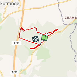

25 km | 28 km-effort


Gebruiker


Gratisgps-wandelapplicatie
 SityTrail
IGN / Geografische instituten
SityTrail World
De wereld gaat voor u open
Tocht Noords wandelen van 6 km beschikbaar op Grand Est, Moselle, Thionville. Deze tocht wordt voorgesteld door targoff.
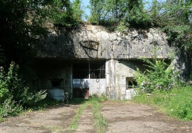
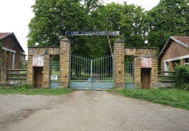
Marche Nordique dans le cadre d'un club incluant 30 minutes, échauffement, exercices, étirements) ainsi que des boucles permettant de rattraper les moins rapides

Fiets

Stappen

Stappen

Stappen
Te voet
Te voet
Te voet
Te voet
Stappen