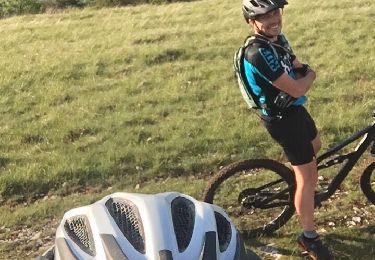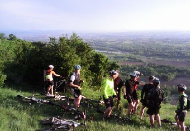

Boucle des craz

jeannot01
Gebruiker

Lengte
27 km

Max. hoogte
421 m

Positief hoogteverschil
508 m

Km-Effort
33 km

Min. hoogte
227 m

Negatief hoogteverschil
507 m
Boucle
Ja
Datum van aanmaak :
2018-04-25 20:28:20.908
Laatste wijziging :
2018-04-25 20:28:20.908
2h09
Moeilijkheid : Medium

Gratisgps-wandelapplicatie
Over ons
Tocht Mountainbike van 27 km beschikbaar op Auvergne-Rhône-Alpes, Ain, Belley. Deze tocht wordt voorgesteld door jeannot01.
Beschrijving
Un bel enchainement des craz avec dugros chemin pour les montées et du single pour les descentes.
Pas de difficulté particulière
Au 1er PT1, bien prendre à gauche le single pour faire la craz des buis.
Plaatsbepaling
Land:
France
Regio :
Auvergne-Rhône-Alpes
Departement/Provincie :
Ain
Gemeente :
Belley
Locatie:
Unknown
Vertrek:(Dec)
Vertrek:(UTM)
708595 ; 5069626 (31T) N.
Opmerkingen
Wandeltochten in de omgeving

Inimond depuis Belley par le chemin forestier


Mountainbike
Moeilijk
(1)
Belley,
Auvergne-Rhône-Alpes,
Ain,
France

39 km | 54 km-effort
3h 0min
Ja

29-04


Mountainbike
Moeilijk
(1)
Belley,
Auvergne-Rhône-Alpes,
Ain,
France

35 km | 46 km-effort
3h 0min
Ja

Entre lac et rivière


Mountainbike
Moeilijk
(1)
Pollieu,
Auvergne-Rhône-Alpes,
Ain,
France

30 km | 36 km-effort
2h 13min
Ja

Entre Belley et Vognes en passant par le lac de ST Champs


Mountainbike
Heel gemakkelijk
(1)
Belley,
Auvergne-Rhône-Alpes,
Ain,
France

25 km | 32 km-effort
2h 28min
Ja

Belley-Colomieu-Appregnin


Mountainbike
Moeilijk
(1)
Belley,
Auvergne-Rhône-Alpes,
Ain,
France

32 km | 41 km-effort
2h 32min
Ja

Boucles dans Rothones sous la pluie


Mountainbike
Medium
(1)
Belley,
Auvergne-Rhône-Alpes,
Ain,
France

24 km | 32 km-effort
1h 50min
Ja

6-5-15


Mountainbike
Heel gemakkelijk
(1)
Saint-Germain-les-Paroisses,
Auvergne-Rhône-Alpes,
Ain,
France

25 km | 37 km-effort
2h 57min
Ja

03-9-14


Mountainbike
Heel gemakkelijk
(1)
Belley,
Auvergne-Rhône-Alpes,
Ain,
France

32 km | 42 km-effort
2h 32min
Ja

9-4-14


Mountainbike
Medium
(1)
Belley,
Auvergne-Rhône-Alpes,
Ain,
France

25 km | 32 km-effort
2h 32min
Ja


 SityTrail


