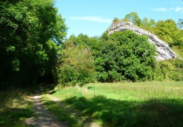
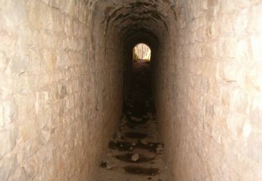
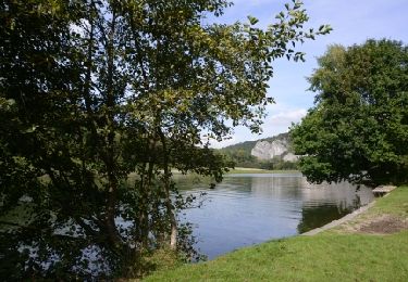
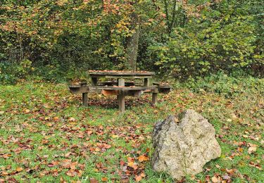
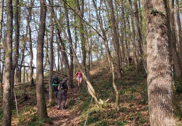
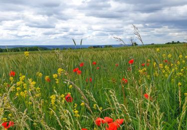
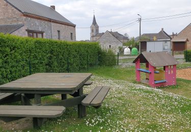
Tocht Stappen Hastière - Promenade 14 - Le Houria (O.T. Hastière) - Photo

Promenade 14 - Le Houria (O.T. Hastière)

 ValleedelaMeuse
ValleedelaMeuse

Gebruiker

© OpenStreetMap contributors
Lengte
Lengte
8,8 km
Max. hoogte
Max. hoogte
241 m
Positief hoogteverschil
199 m
Km-Effort
Km-Effort  
11,5 km
Min. hoogte
Min. hoogte
103 m
Negatief hoogteverschil
200 m
Boucle
Boucle
Ja
Markering
Markering
Datum van aanmaak :
2018-04-18 00:19:15.112
Laatste wijziging :
2018-04-18 00:19:15.112

(0 Bericht)

Stappen
Stappen
2h29
Moeilijkheid : Medium

Scan deze QR-code om de tocht te openen in de SityTrail-applicatie

Gratisgps-wandelapplicatie

Logo SityTrail SityTrail

IGN / Geografische instituten

SityTrail uit de App Store downloaden SityTrail uit Google Play downloaden

Logo SityTrail SityTrail World

De wereld gaat voor u open

SityTrail uit de App Store downloaden SityTrail uit Google Play downloaden SityTrail op Huawei AppGallery downloaden

Over ons

Tocht Stappen van 8,8 km beschikbaar op Wallonië, Namen, Hastière. Deze tocht wordt voorgesteld door ValleedelaMeuse.

Beschrijving

Extrait de la carte des promenades pédestres sur fond IGN au 1/25.000e éditée par l'O.T. Hastière, reprenant 23 circuits balisés avec descriptif complet bilingue au verso. Carte en vente à l'O.T. Hastière et à la Maison du Tourisme au prix de 7,- euros. Infos sur www.hastiere-tourisme.be

Hoogteprofiel

Plaatsbepaling

Land:
Belgium
Regio :
Wallonië
Departement/Provincie :
Namen
Gemeente :
Hastière
Locatie:
Agimont
Vertrek:(Dec)
Vertrek:(UTM)
630164 ; 5559017 (31U) N.

Wandeltochten in de omgeving

Tocht Stappen Givet - Balade à Givet - Photo
Stappen
tracegps

Stappen

Medium
(3)
Givet, Grand Est, Ardennes, France
8 km | 9,4 km-effort
2h 0min
Ja
Tocht Stappen Givet - Promenade sur les remparts du Mont d'Haurs - Photo
Stappen
tracegps

Stappen

Medium
(3)
Givet, Grand Est, Ardennes, France
5,1 km | 6,7 km-effort
2h 0min
Ja
Tocht Stappen Hastière - Hastiere, Entre mont et vallée - Photo
Stappen
pito0206

Stappen

Medium
(2)
Hastière, Wallonië, Namen, Belgium
11,2 km | 14,3 km-effort
2h 5min
Ja
Tocht Stappen Hastière - Waulsort - Circuit Natura 2000, des sites qui valent le détour - Na08 - Photo
Stappen
GUIDE+

Stappen

Heel gemakkelijk
(4)
Hastière, Wallonië, Namen, Belgium
4,5 km | 6,9 km-effort
1h 40min
Ja
Tocht Stappen Doische - De Gochenee vers Soulme par la vallee de l'Ermeton - Photo
Stappen
GUIDE
Desrumaux

Stappen

Medium
(1)
Doische, Wallonië, Namen, Belgium
18,5 km | 24 km-effort
4h 40min
Ja
Tocht Stappen Hastière - Balade à Waulsort - Photo
Stappen
GUIDE
Desrumaux

Stappen

Medium
Hastière, Wallonië, Namen, Belgium
6,5 km | 8,6 km-effort
1h 56min
Ja
Tocht Stappen Hastière - GR RB 11 Namur : Hermeton sur Meuse - Photo
Stappen
GUIDE
Michel1963

Stappen

Medium
Hastière, Wallonië, Namen, Belgium
20 km | 25 km-effort
5h 49min
Ja
Tocht Stappen Houyet - Marche Adeps à Mesnil-Saint-Blaise - Photo
Stappen
GUIDE
Desrumaux

Stappen

Medium
Houyet, Wallonië, Namen, Belgium
9,8 km | 11,4 km-effort
2h 35min
Ja
Tocht Stappen Doische - De Gochenée à Vodelée par la vallée de l'Hermeton - Photo
Stappen
GUIDE
Desrumaux

Stappen

Moeilijk
Doische, Wallonië, Namen, Belgium
10,7 km | 12,9 km-effort
3h 46min
Ja


Sluiten
Mijn abonnementen