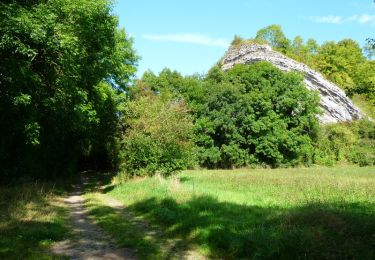
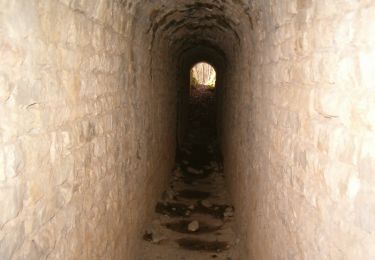
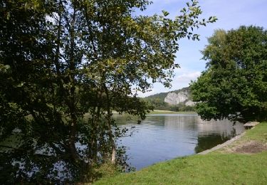
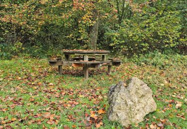
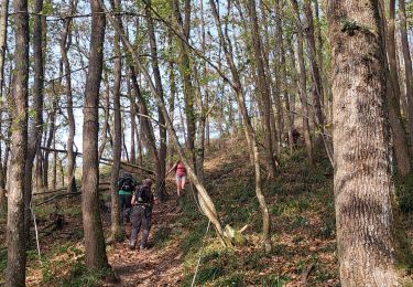
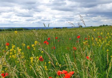
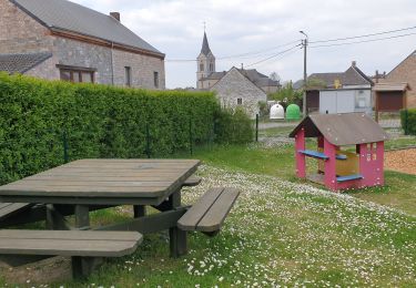
Tocht Stappen Hastière - Promenade 13 - La Tassenière (O.T. Hastière) - Photo

Promenade 13 - La Tassenière (O.T. Hastière)

 ValleedelaMeuse
ValleedelaMeuse

Gebruiker

© OpenStreetMap contributors
Lengte
Lengte
6 km
Max. hoogte
Max. hoogte
175 m
Positief hoogteverschil
88 m
Km-Effort
Km-Effort  
7,2 km
Min. hoogte
Min. hoogte
111 m
Negatief hoogteverschil
88 m
Boucle
Boucle
Ja
Markering
Markering
Datum van aanmaak :
2018-04-18 00:19:14.781
Laatste wijziging :
2018-04-18 00:19:14.781

(1 Bericht)

Stappen
Stappen
1h34
Moeilijkheid : Gemakkelijk

Scan deze QR-code om de tocht te openen in de SityTrail-applicatie

Gratisgps-wandelapplicatie

Logo SityTrail SityTrail

IGN / Geografische instituten

SityTrail uit de App Store downloaden SityTrail uit Google Play downloaden

Logo SityTrail SityTrail World

De wereld gaat voor u open

SityTrail uit de App Store downloaden SityTrail uit Google Play downloaden SityTrail op Huawei AppGallery downloaden

Over ons

Tocht Stappen van 6 km beschikbaar op Wallonië, Namen, Hastière. Deze tocht wordt voorgesteld door ValleedelaMeuse.

Beschrijving

Extrait de la carte des promenades pédestres sur fond IGN au 1/25.000e éditée par l'O.T. Hastière, reprenant 23 circuits balisés avec descriptif complet bilingue au verso. Carte en vente à l'O.T. Hastière et à la Maison du Tourisme au prix de 7,- euros. Infos sur www.hastiere-tourisme.be

Hoogteprofiel

Plaatsbepaling

Land:
Belgium
Regio :
Wallonië
Departement/Provincie :
Namen
Gemeente :
Hastière
Locatie:
Agimont
Vertrek:(Dec)
Vertrek:(UTM)
630169 ; 5559020 (31U) N.

Opmerkingen

Gelieve in te loggen om een commentaar of een beoordeling achter te laten


Wandeltochten in de omgeving

Tocht Stappen Givet - Balade à Givet - Photo
Stappen
tracegps

Stappen

Medium
(3)
Givet, Grand Est, Ardennes, France
8 km | 9,4 km-effort
2h 0min
Ja
Tocht Stappen Givet - Promenade sur les remparts du Mont d'Haurs - Photo
Stappen
tracegps

Stappen

Medium
(3)
Givet, Grand Est, Ardennes, France
5,1 km | 6,7 km-effort
2h 0min
Ja
Tocht Stappen Hastière - Hastiere, Entre mont et vallée - Photo
Stappen
pito0206

Stappen

Medium
(2)
Hastière, Wallonië, Namen, Belgium
11,2 km | 14,3 km-effort
2h 5min
Ja
Tocht Stappen Hastière - Waulsort - Circuit Natura 2000, des sites qui valent le détour - Na08 - Photo
Stappen
GUIDE+

Stappen

Heel gemakkelijk
(4)
Hastière, Wallonië, Namen, Belgium
4,5 km | 6,9 km-effort
1h 40min
Ja
Tocht Stappen Doische - De Gochenee vers Soulme par la vallee de l'Ermeton - Photo
Stappen
GUIDE
Desrumaux

Stappen

Medium
(1)
Doische, Wallonië, Namen, Belgium
18,5 km | 24 km-effort
4h 40min
Ja
Tocht Stappen Hastière - Balade à Waulsort - Photo
Stappen
GUIDE
Desrumaux

Stappen

Medium
Hastière, Wallonië, Namen, Belgium
6,5 km | 8,6 km-effort
1h 56min
Ja
Tocht Stappen Hastière - GR RB 11 Namur : Hermeton sur Meuse - Photo
Stappen
GUIDE
Michel1963

Stappen

Medium
Hastière, Wallonië, Namen, Belgium
20 km | 25 km-effort
5h 49min
Ja
Tocht Stappen Houyet - Marche Adeps à Mesnil-Saint-Blaise - Photo
Stappen
GUIDE
Desrumaux

Stappen

Medium
Houyet, Wallonië, Namen, Belgium
9,8 km | 11,4 km-effort
2h 35min
Ja
Tocht Stappen Doische - De Gochenée à Vodelée par la vallée de l'Hermeton - Photo
Stappen
GUIDE
Desrumaux

Stappen

Moeilijk
Doische, Wallonië, Namen, Belgium
10,7 km | 12,9 km-effort
3h 46min
Ja


Sluiten
Mijn abonnementen