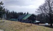

ThannMolkenrein

helmut68
Gebruiker

Lengte
34 km

Max. hoogte
1120 m

Positief hoogteverschil
1367 m

Km-Effort
52 km

Min. hoogte
332 m

Negatief hoogteverschil
1258 m
Boucle
Neen
Datum van aanmaak :
2018-07-20 19:16:13.94
Laatste wijziging :
2018-07-20 19:16:13.94
4h17
Moeilijkheid : Medium

Gratisgps-wandelapplicatie
Over ons
Tocht Stappen van 34 km beschikbaar op Grand Est, Haut-Rhin, Thann. Deze tocht wordt voorgesteld door helmut68.
Beschrijving
Partie du GR531,raide au début à deux endroits, puis agréable par la suite. Splendide vue au sommet du Molkenrein, puis retour par des petits sentiers jusqu'à la la Croix de Thann. là il faut se poser, une vue sur Thann et environs...
Plaatsbepaling
Land:
France
Regio :
Grand Est
Departement/Provincie :
Haut-Rhin
Gemeente :
Thann
Locatie:
Unknown
Vertrek:(Dec)
Vertrek:(UTM)
357888 ; 5297228 (32T) N.
Opmerkingen
Wandeltochten in de omgeving
lac du ballon


Andere activiteiten
Heel gemakkelijk
(1)
Steinbach,
Grand Est,
Haut-Rhin,
France

33 km | 64 km-effort
5h 1min
Neen
Cascade de Erzenbach


Stappen
Medium
Steinbach,
Grand Est,
Haut-Rhin,
France

6 km | 8,8 km-effort
1h 32min
Ja
2024-01-12_14h17m14_239006910


Stappen
Moeilijk
Bourbach-le-Haut,
Grand Est,
Haut-Rhin,
France

11,4 km | 18,5 km-effort
4h 12min
Ja

SityTrail - 2489713 - thann-roche--albert--grumbachkopf


Stappen
Medium
(1)
Thann,
Grand Est,
Haut-Rhin,
France

7,6 km | 12 km-effort
2h 28min
Ja

Bitschwiller les Thann - Rehbrunnel - Abri du Becherkopf - Roche Albert


Te voet
Medium
(1)
Bitschwiller-lès-Thann,
Grand Est,
Haut-Rhin,
France

10,3 km | 16,4 km-effort
Onbekend
Ja

68 Col du Hundsrück - FA Gsang - retour ThannerHubel


Stappen
Medium
(1)
Bitschwiller-lès-Thann,
Grand Est,
Haut-Rhin,
France

11,2 km | 18,4 km-effort
3h 48min
Ja
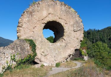
Entre Thann et le Molkenrain


Stappen
Moeilijk
Thann,
Grand Est,
Haut-Rhin,
France

24 km | 39 km-effort
8h 47min
Ja
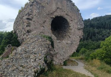
Thann lac de Kruth


Elektrische fiets
Medium
Thann,
Grand Est,
Haut-Rhin,
France

49 km | 58 km-effort
4h 2min
Ja
Rando CLAS du 02/11/2023


Stappen
Zeer moeilijk
Steinbach,
Grand Est,
Haut-Rhin,
France

17,7 km | 27 km-effort
4h 35min
Ja


 SityTrail


