

Meyssac Est

ptarif
Gebruiker

Lengte
5,5 km

Max. hoogte
363 m

Positief hoogteverschil
202 m

Km-Effort
8,2 km

Min. hoogte
208 m

Negatief hoogteverschil
201 m
Boucle
Ja
Datum van aanmaak :
2018-04-17 23:26:09.837
Laatste wijziging :
2018-04-17 23:26:09.837
1h46
Moeilijkheid : Gemakkelijk

Gratisgps-wandelapplicatie
Over ons
Tocht Stappen van 5,5 km beschikbaar op Nieuw-Aquitanië, Corrèze, Meyssac. Deze tocht wordt voorgesteld door ptarif.
Beschrijving
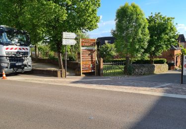
Balisage jaune excellent. Fait partie d'un circuit, mais ici, seulement une partie AR. Faisable en vélo (assez difficile).
Belle vue vers le Sud
Plaatsbepaling
Land:
France
Regio :
Nieuw-Aquitanië
Departement/Provincie :
Corrèze
Gemeente :
Meyssac
Locatie:
Unknown
Vertrek:(Dec)
Vertrek:(UTM)
396338 ; 4989225 (31T) N.
Opmerkingen
Wandeltochten in de omgeving
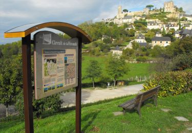
Circuit de la Vicomté de Turenne


Mountainbike
Moeilijk
(2)
Ligneyrac,
Nieuw-Aquitanië,
Corrèze,
France

30 km | 43 km-effort
3h 30min
Ja
Le bois de l'empire


Mountainbike
Moeilijk
(1)
Chauffour-sur-Vell,
Nieuw-Aquitanië,
Corrèze,
France

26 km | 34 km-effort
3h 0min
Ja
Aux confins du Quercy - Chauffour sur Vell - Pays de la vallée de la Dordogne...


Mountainbike
Medium
(1)
Chauffour-sur-Vell,
Nieuw-Aquitanië,
Corrèze,
France

15,5 km | 18,7 km-effort
1h 19min
Ja

Boucle de Meyssac à Beynat


Mountainbike
Zeer moeilijk
(1)
Meyssac,
Nieuw-Aquitanië,
Corrèze,
France

37 km | 50 km-effort
3h 26min
Ja

Circuit VTT Meyssac -Saillac-Ligneyrac-Collonges


Mountainbike
Zeer moeilijk
(1)
Meyssac,
Nieuw-Aquitanië,
Corrèze,
France

34 km | 44 km-effort
2h 54min
Ja

2019-12-28_17h26m41_L'Hôpital(32km)


Mountainbike
Moeilijk
(1)
Chauffour-sur-Vell,
Nieuw-Aquitanië,
Corrèze,
France

32 km | 41 km-effort
2h 48min
Ja

curemonte/Collonges:la boucle verte


Mountainbike
Medium
(1)
Chauffour-sur-Vell,
Nieuw-Aquitanië,
Corrèze,
France

31 km | 39 km-effort
2h 31min
Ja
colonge


Stappen
Medium
Collonges-la-Rouge,
Nieuw-Aquitanië,
Corrèze,
France

5,8 km | 9,1 km-effort
2h 31min
Neen
colonge


Stappen
Medium
Collonges-la-Rouge,
Nieuw-Aquitanië,
Corrèze,
France

6,1 km | 9,3 km-effort
1h 54min
Ja


 SityTrail


