


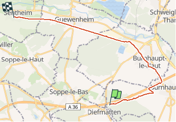

22 km | 27 km-effort


Gebruiker


Gratisgps-wandelapplicatie
 SityTrail
IGN / Geografische instituten
SityTrail World
De wereld gaat voor u open
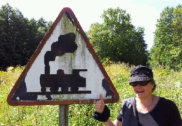
Tocht Stappen van 13,2 km beschikbaar op Grand Est, Haut-Rhin, Burnhaupt-le-Bas. Deze tocht wordt voorgesteld door helmut68.
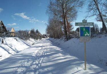
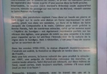
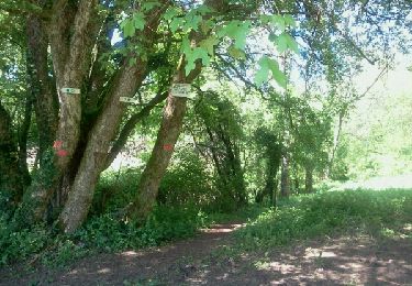
Suite du parcours GR531( Sentheim Diefmaten) pour revenir à Sentheim. On longe un peu l'autoroute pour arriver à Burnhaupt le Haut puis continuer par la piste cyclable jusqu'à Sentheim.
Stappen
Stappen
Stappen
Wintersport
Stappen
Fiets
Stappen
Stappen
Stappen