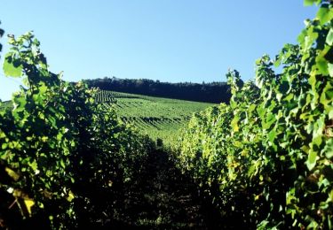
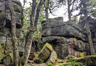
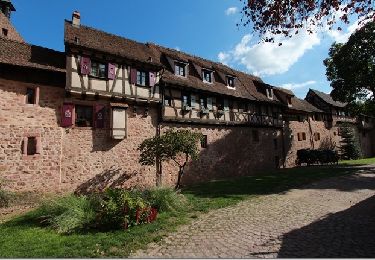
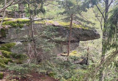
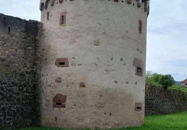
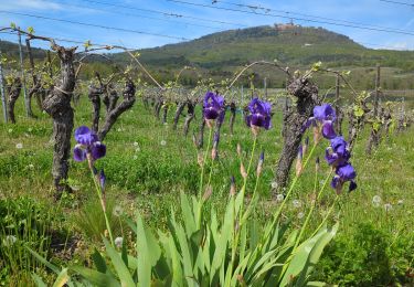
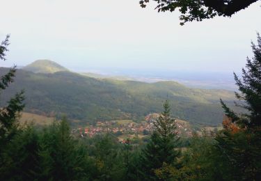
Tocht Stappen Ribeauvillé - Taennchel- 3 Chateaux test - Photo

Taennchel- 3 Chateaux test

 LaurentGILG
LaurentGILG

Gebruiker

© OpenStreetMap contributors
Lengte
Lengte
15 km
Max. hoogte
Max. hoogte
946 m
Positief hoogteverschil
852 m
Km-Effort
Km-Effort  
26 km
Min. hoogte
Min. hoogte
265 m
Negatief hoogteverschil
850 m
Boucle
Boucle
Ja
Datum van aanmaak :
2019-01-20 20:50:24.457
Laatste wijziging :
2019-01-20 20:50:24.504

(0 Bericht)

Stappen
Stappen
5h25
Moeilijkheid : Zeer moeilijk

Scan deze QR-code om de tocht te openen in de SityTrail-applicatie

Gratisgps-wandelapplicatie

Logo SityTrail SityTrail

IGN / Geografische instituten

SityTrail uit de App Store downloaden SityTrail uit Google Play downloaden

Logo SityTrail SityTrail World

De wereld gaat voor u open

SityTrail uit de App Store downloaden SityTrail uit Google Play downloaden SityTrail op Huawei AppGallery downloaden

Over ons

Tocht Stappen van 15 km beschikbaar op Grand Est, Haut-Rhin, Ribeauvillé. Deze tocht wordt voorgesteld door LaurentGILG.

Hoogteprofiel

POI's

POI Ribeauvillé - Suivre Triangle Bleu ( direction monastère N.-D. de Dusenbach ) - Photo
LaurentGILG
POI Ribeauvillé - Suivre Triangle Bleu jusqu'au Carrefour Cerisier Noir - Photo
LaurentGILG
POI Ribeauvillé - suivre Cercle Rouge direction Carrefour G.G. Hasenclever - Photo
LaurentGILG
POI Ribeauvillé - Suivre Cercle Rouge Direction Rocher de la Paix d'Udine - Photo
LaurentGILG
POI Ribeauvillé - Suivre + Jaune Direction Thannenkirch - Photo
LaurentGILG
POI Thannenkirch - Suivre Disc Bleu - Photo
LaurentGILG
THANNENKIRCH 
POI Bergheim - Suivre Rectangle Rouge-Blanc-Rouge direction les Chateaux - Photo
LaurentGILG
POI Ribeauvillé - Suivre rectangle rouge GR5 - Photo
LaurentGILG

Plaatsbepaling

Land:
France
Regio :
Grand Est
Departement/Provincie :
Haut-Rhin
Gemeente :
Ribeauvillé
Locatie:
Unknown
Vertrek:(Dec)
Vertrek:(UTM)
374815 ; 5339764 (32U) N.

Wandeltochten in de omgeving

Tocht Mountainbike Ribeauvillé - Ribeauvillé Riquewihr - Photo
Mountainbike
tracegps

Mountainbike

Medium
(1)
Ribeauvillé, Grand Est, Haut-Rhin, France
19,3 km | 24 km-effort
1h 30min
Ja
Tocht Stappen Ribeauvillé - 2023-08-26 Marche Ribeauville Taennchel - Photo
Stappen
GUIDE
holtzv

Stappen

Medium
(1)
Ribeauvillé, Grand Est, Haut-Rhin, France
20 km | 34 km-effort
7h 45min
Ja
Tocht Stappen Hunawihr - Hunawihr - Riquewihr - Photo
Stappen
JMCMoreau

Stappen

Gemakkelijk
(1)
Hunawihr, Grand Est, Haut-Rhin, France
6,3 km | 9 km-effort
2h 15min
Ja
Tocht Stappen Riquewihr - Sentier des grands crus - Photo
Stappen
GUIDE
pascalou73

Stappen

Medium
(2)
Riquewihr, Grand Est, Haut-Rhin, France
11,5 km | 14,4 km-effort
3h 7min
Ja
Tocht Stappen Saint-Hippolyte - St hippolyte ht koenigsbourg - Photo
Stappen
legereric

Stappen

Medium
(2)
Saint-Hippolyte, Grand Est, Haut-Rhin, France
12 km | 18,7 km-effort
3h 27min
Ja
Tocht sport Ribeauvillé - Grande verrerie - Rocher des Géants  - Photo
sport
berni68

sport

Heel gemakkelijk
Ribeauvillé, Grand Est, Haut-Rhin, France
9,3 km | 15,3 km-effort
Onbekend
Neen
Tocht Stappen Thannenkirch - circuit Taennchel - Photo
Stappen
Patlac3

Stappen

Medium
Thannenkirch, Grand Est, Haut-Rhin, France
8,6 km | 13,9 km-effort
4h 5min
Ja
Tocht Stappen Bergheim - Berghien  - Photo
Stappen
2433e59

Stappen

Gemakkelijk
Bergheim, Grand Est, Haut-Rhin, France
12,1 km | 15,6 km-effort
3h 37min
Ja
Tocht Stappen Saint-Hippolyte - St-Hippolyte - Rorschwihr - Grasberg - Bergheim - Reichenberg - Rodern - Photo
Stappen
VacheKiri67

Stappen

Medium
Saint-Hippolyte, Grand Est, Haut-Rhin, France
17,3 km | 22 km-effort
4h 28min
Ja


Sluiten
Mijn abonnementen