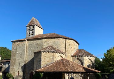
13,6 km | 17,1 km-effort
Mareuil Pauliac Brantôme Pressillac
charrier
Gebruiker
Lengte
109 km
Max. hoogte
211 m
Positief hoogteverschil
2012 m
Km-Effort
136 km
Min. hoogte
96 m
Negatief hoogteverschil
2019 m
Boucle
Ja
Datum van aanmaak :
2018-04-17 22:49:36.642
Laatste wijziging :
2018-04-17 22:49:36.642
8h23
Moeilijkheid : Medium
Gratisgps-wandelapplicatie
Over ons
Tocht Mountainbike van 109 km beschikbaar op Nieuw-Aquitanië, Dordogne, Villars. Deze tocht wordt voorgesteld door charrier.
Beschrijving
balade sur trois jours
Plaatsbepaling
Land:
France
Regio :
Nieuw-Aquitanië
Departement/Provincie :
Dordogne
Gemeente :
Villars
Locatie:
Unknown
Vertrek:(Dec)
Vertrek:(UTM)
322655 ; 5030963 (31T) N.
Opmerkingen
Wandeltochten in de omgeving
Puyguilhem - Grotte de Villars
Stappen
Moeilijk
(1)
Villars,
Nieuw-Aquitanië,
Dordogne,
France
3h 44min
Ja
Villars Quinsac
Stappen
Gemakkelijk
(1)
Villars,
Nieuw-Aquitanië,
Dordogne,
France
13 km | 16,3 km-effort
3h 30min
Ja
Villars -Nontron 10/09/22
Elektrische fiets
Gemakkelijk
Villars,
Nieuw-Aquitanië,
Dordogne,
France
34 km | 41 km-effort
2h 40min
Neen
Villars abbaye de Boschaud
Stappen
Medium
Villars,
Nieuw-Aquitanië,
Dordogne,
France
12,4 km | 15,8 km-effort
3h 58min
Ja
randogps24-488
Stappen
Moeilijk
Villars,
Nieuw-Aquitanië,
Dordogne,
France
12,3 km | 15,7 km-effort
3h 34min
Ja
Boucle de Champagnac de bel air
Stappen
Moeilijk
Champagnac-de-Belair,
Nieuw-Aquitanië,
Dordogne,
France
12,7 km | 15,7 km-effort
3h 33min
Ja
boucle st pierre de cole
Stappen
Medium
Saint-Pierre-de-Côle,
Nieuw-Aquitanië,
Dordogne,
France
13,4 km | 16,6 km-effort
3h 27min
Ja
st pierre brantome
Stappen
Moeilijk
Saint-Pierre-de-Côle,
Nieuw-Aquitanië,
Dordogne,
France
15,4 km | 19,9 km-effort
2h 45min
Neen
La Chappelle-Faucher 11km
Stappen
Gemakkelijk
(3)
La Chapelle-Faucher,
Nieuw-Aquitanië,
Dordogne,
France
11,3 km | 14,3 km-effort
3h 6min
Ja