


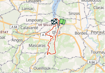


11,6 km | 14,9 km-effort


Gebruiker GUIDE


Gratisgps-wandelapplicatie
 SityTrail
IGN / Geografische instituten
SityTrail World
De wereld gaat voor u open
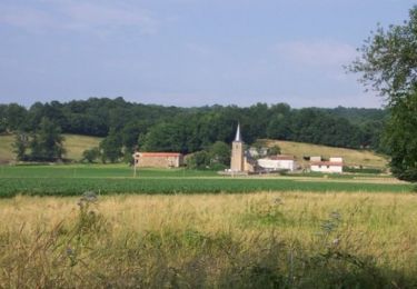
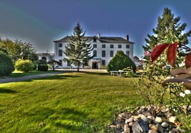
Tocht Stappen van 11,6 km beschikbaar op Occitanië, Hautes-Pyrénées, Lhez. Deze tocht wordt voorgesteld door LouisROGER.
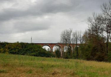
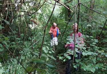
Passez sous les trois ponts du Larré Darré et après le point 5 visitez la forets inondable en haut du lac une petite Louisiane sans les alligators ....
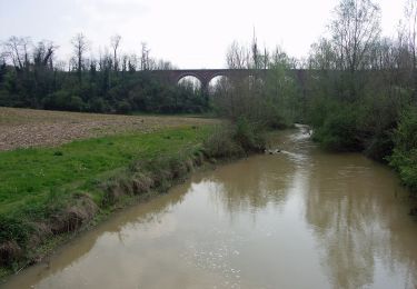
côte abruptes ente la rivière let la crête où se perche le village de Lhez!
à faire aussi en VTT peinard en 2 heures
raccourci possible au départ en prenant à la descenteves l'est ves le point 12


21 fotos in totaal. Klik op een foto om ze allemaal in de galerij weer te geven.

Stappen
Stappen
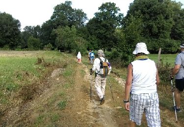
Stappen
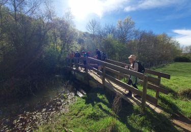
Stappen
Stappen
Te voet
Mountainbike
Mountainbike
Mountainbike