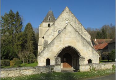
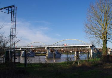
Tocht Fiets Pont-Sainte-Maxence - balade foret halatte - Photo
 gilbertdu60
gilbertdu60

Gebruiker

© OpenStreetMap contributors
Lengte
Lengte
10,4 km
Max. hoogte
Max. hoogte
150 m
Positief hoogteverschil
133 m
Km-Effort
Km-Effort  
12,2 km
Min. hoogte
Min. hoogte
95 m
Negatief hoogteverschil
133 m
Boucle
Boucle
Ja
Datum van aanmaak :
2018-04-17 21:02:21.094
Laatste wijziging :
2018-04-17 21:02:21.094

(0 Bericht)

Fiets
Fiets
1h55
Moeilijkheid : Gemakkelijk

Scan deze QR-code om de tocht te openen in de SityTrail-applicatie

Gratisgps-wandelapplicatie

Logo SityTrail SityTrail

IGN / Geografische instituten

SityTrail uit de App Store downloaden SityTrail uit Google Play downloaden

Logo SityTrail SityTrail World

De wereld gaat voor u open

SityTrail uit de App Store downloaden SityTrail uit Google Play downloaden SityTrail op Huawei AppGallery downloaden

Over ons

Tocht Fiets van 10,4 km beschikbaar op Hauts-de-France, Oise, Pont-Sainte-Maxence. Deze tocht wordt voorgesteld door gilbertdu60.

Beschrijving

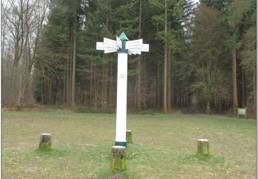
départ piscine des terriers, ( traversée de la RD1017) vers l'obélisque du roi de Rome et la fontaine des Lys, passage par le poteau du grand maitre, vers le chemin du cheval blanc arrêt au dolme de Chancy, vers le rocher au sanglier

Hoogteprofiel

Foto's

POI's

POI Fleurines - obélisque du roi de Rome - Photo
gilbertdu60
POI Fleurines - la fontaine des Lys - Photo
gilbertdu60
POI Villers-Saint-Frambourg-Ognon - le dolmen de Chancy - Photo
gilbertdu60
VILLERS-SAINT-FRAMBOURG-OGNON 
POI Villers-Saint-Frambourg-Ognon - le rocher au Sanglier - Photo
gilbertdu60
VILLERS-SAINT-FRAMBOURG-OGNON 
POI Pont-Sainte-Maxence - poteau du grand maitre - Photo
gilbertdu60
PONT-SAINTE-MAXENCE 

Plaatsbepaling

Land:
France
Regio :
Hauts-de-France
Departement/Provincie :
Oise
Gemeente :
Pont-Sainte-Maxence
Locatie:
Unknown
Vertrek:(Dec)
Vertrek:(UTM)
470907 ; 5460256 (31U) N.

Wandeltochten in de omgeving

Tocht Stappen Beaurepaire - La mare aux oiseaux - Beaurepaire - Photo
Stappen
tracegps

Stappen

Medium
(1)
Beaurepaire, Hauts-de-France, Oise, France
8,4 km | 10,2 km-effort
2h 10min
Ja
Tocht Stappen Fleurines - Fleurines Grand parcours - Photo
Stappen
CC.RIDER

Stappen

Gemakkelijk
(1)
Fleurines, Hauts-de-France, Oise, France
20 km | 24 km-effort
5h 8min
Ja
Tocht Stappen Pontpoint - Mont Pagnotte Grand parcours - Photo
Stappen
CC.RIDER

Stappen

Medium
(2)
Pontpoint, Hauts-de-France, Oise, France
16,6 km | 22 km-effort
4h 36min
Ja
Tocht Mountainbike Pont-Sainte-Maxence - ot 6 octobre 24 - Photo
Mountainbike
gilbertdu60

Mountainbike

Medium
Pont-Sainte-Maxence, Hauts-de-France, Oise, France
23 km | 27 km-effort
1h 54min
Ja
Tocht Hybride fiets Fleurines - randonnée Au5v OT Ccpoh halatte - Photo
Hybride fiets
gilbertdu60

Hybride fiets

Gemakkelijk
Fleurines, Hauts-de-France, Oise, France
30 km | 35 km-effort
Onbekend
Ja
Tocht Fietstoerisme Pont-Sainte-Maxence - sortie AU5v Pentecôte 2022 - Photo
Fietstoerisme
gilbertdu60

Fietstoerisme

Gemakkelijk
Pont-Sainte-Maxence, Hauts-de-France, Oise, France
26 km | 29 km-effort
Onbekend
Ja
Tocht Te voet Pont-Sainte-Maxence - balade pedestre 11 avril 2022 - Photo
Te voet
gilbertdu60

Te voet

Gemakkelijk
Pont-Sainte-Maxence, Hauts-de-France, Oise, France
7,2 km | 9,1 km-effort
2h 4min
Ja
Tocht Elektrische fiets Pont-Sainte-Maxence - balade printanière du 23 mars - Photo
Elektrische fiets
gilbertdu60

Elektrische fiets

Gemakkelijk
Pont-Sainte-Maxence, Hauts-de-France, Oise, France
22 km | 26 km-effort
2h 14min
Ja
Tocht Elektrische fiets Pont-Sainte-Maxence - sortie 18 janvier 22 - Photo
Elektrische fiets
gilbertdu60

Elektrische fiets

Gemakkelijk
Pont-Sainte-Maxence, Hauts-de-France, Oise, France
23 km | 27 km-effort
2h 4min
Ja


Sluiten
Mijn abonnementen