


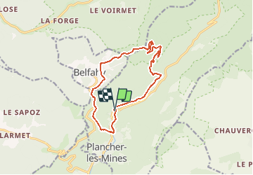


14,6 km | 23 km-effort

Gebruiker


Gratisgps-wandelapplicatie
 SityTrail
IGN / Geografische instituten
SityTrail World
De wereld gaat voor u open
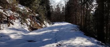
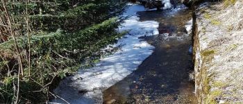
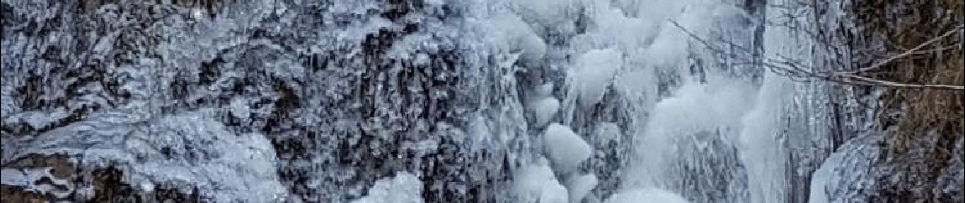
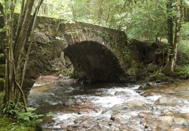
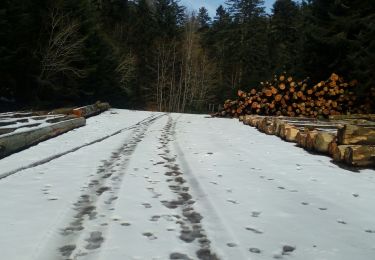
Tocht Stappen van 12,6 km beschikbaar op Bourgondië-Franche-Comté, Haute-Saône, Plancher-les-Mines. Deze tocht wordt voorgesteld door benoit747.
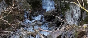
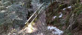
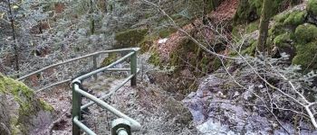
Belle randonnée
Grosse chaussures conseillées (surtout pour la descente dans la caillasse)
condition physique correcte pour les 600m de dénivellé


Stappen

Stappen

Stappen

Stappen

Stappen

Stappen

Stappen
Stappen
Stappen