


21 km | 27 km-effort


Gebruiker


Gratisgps-wandelapplicatie
 SityTrail
IGN / Geografische instituten
SityTrail World
De wereld gaat voor u open
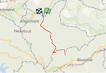
Tocht Stappen van 11 km beschikbaar op Grand Est, Meurthe-et-Moselle, Angomont. Deze tocht wordt voorgesteld door Le_Grand.
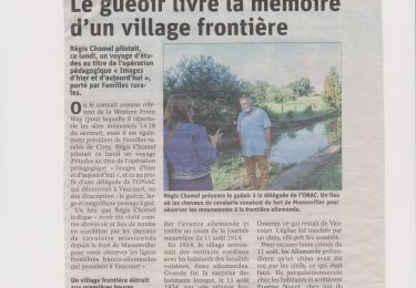
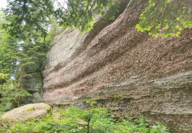
A partir de l'abri de la croix Bagué à Angomont aller-retour aux rocher de l'aigle an passant par le haut des planches


Stappen

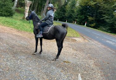
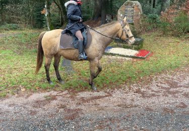
Paardrijden
Stappen
Paardrijden
Paardrijden

Trail
Paardrijden
Fietstoerisme
Stappen