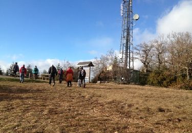
Tocht Stappen Millau - le puech d'Andan(Millau) - Photo

le puech d'Andan(Millau)

 nanie
nanie

Gebruiker

© OpenStreetMap contributors
Lengte
Lengte
11 km
Max. hoogte
Max. hoogte
887 m
Positief hoogteverschil
524 m
Km-Effort
Km-Effort  
18 km
Min. hoogte
Min. hoogte
461 m
Negatief hoogteverschil
523 m
Boucle
Boucle
Ja
Datum van aanmaak :
2018-04-17 17:42:49.004
Laatste wijziging :
2018-04-17 17:42:49.004

(1 Bericht)

Stappen
Stappen
3h45
Moeilijkheid : Medium

Scan deze QR-code om de tocht te openen in de SityTrail-applicatie

Gratisgps-wandelapplicatie

Logo SityTrail SityTrail

IGN / Geografische instituten

SityTrail uit de App Store downloaden SityTrail uit Google Play downloaden

Logo SityTrail SityTrail World

De wereld gaat voor u open

SityTrail uit de App Store downloaden SityTrail uit Google Play downloaden SityTrail op Huawei AppGallery downloaden

Over ons

Tocht Stappen van 11 km beschikbaar op Occitanië, Aveyron, Millau. Deze tocht wordt voorgesteld door nanie.

Beschrijving

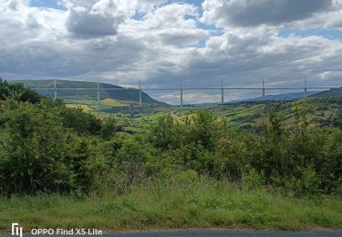
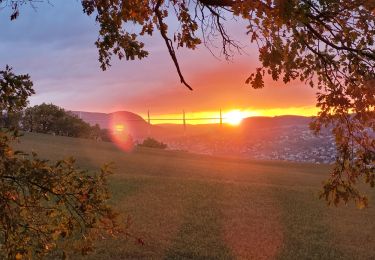
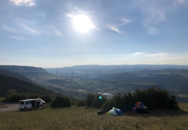
Belle randonnée à faire par beau temps Au départ de la ferme Prignolles (petit parking) Montée assez raide sur piste sans difficulté jusqu'au premier sommet (pylône)puis suivre tracé vélo et toujours suivre le bord du champ. Prendre à gauche petit sentier (glissant par temps de pluie) pour atteindre le puech. Bien contourner le champs et suivre le sentier jusqu’à la route du point de départ.    

Hoogteprofiel

Plaatsbepaling

Land:
France
Regio :
Occitanië
Departement/Provincie :
Aveyron
Gemeente :
Millau
Locatie:
Unknown
Vertrek:(Dec)
Vertrek:(UTM)
505562 ; 4885419 (31T) N.

Opmerkingen

Gelieve in te loggen om een commentaar of een beoordeling achter te laten


Wandeltochten in de omgeving

Tocht Stappen Millau - les cades - Photo
Stappen
colber

Stappen

Heel gemakkelijk
(1)
Millau, Occitanië, Aveyron, France
10,3 km | 13,8 km-effort
2h 54min
Ja
Tocht Stappen Millau - Randonnée autour du Viaduc  de Millau - Photo
Stappen
tracegps

Stappen

Moeilijk
(2)
Millau, Occitanië, Aveyron, France
18,5 km | 26 km-effort
5h 30min
Ja
Tocht Stappen Millau - millau. massebiau - Photo
Stappen
colber

Stappen

Heel gemakkelijk
(2)
Millau, Occitanië, Aveyron, France
15,6 km | 19,8 km-effort
2h 48min
Neen
Tocht Elektrische fiets Millau - Millau gorges de la Jonte et gorges du Tarn - Photo
Elektrische fiets
apa

Elektrische fiets

Medium
Millau, Occitanië, Aveyron, France
56 km | 68 km-effort
4h 10min
Neen
Tocht Elektrische fiets Millau - Millau= Saint Rome de Tarn=Saint Georges de Luzencon retour par la voie verte du viaduc - Photo
Elektrische fiets
apa

Elektrische fiets

Medium
Millau, Occitanië, Aveyron, France
51 km | 61 km-effort
4h 42min
Neen
Tocht Elektrische fiets Millau - Millau gorges de la Dourbie - Photo
Elektrische fiets
apa

Elektrische fiets

Medium
Millau, Occitanië, Aveyron, France
72 km | 88 km-effort
5h 43min
Neen
Tocht Stappen Millau - forêt des Cades Millau  - Photo
Stappen
nanie

Stappen

Moeilijk
(1)
Millau, Occitanië, Aveyron, France
9,6 km | 13,3 km-effort
3h 1min
Ja
Tocht Stappen Millau - pouncho d'Agast - Photo
Stappen
GUIDE
amiral13

Stappen

Gemakkelijk
Millau, Occitanië, Aveyron, France
12 km | 19,7 km-effort
6h 22min
Ja
Tocht Elektrische fiets Millau - Brunel - Photo
Elektrische fiets
Damien Restano

Elektrische fiets

Millau, Occitanië, Aveyron, France
32 km | 43 km-effort
2h 17min
Ja


Sluiten
Mijn abonnementen