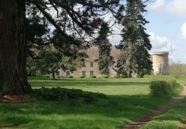
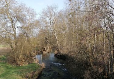
11 km | 12,4 km-effort
route 28-01-18
sitygps
Gebruiker
Lengte
74 km
Max. hoogte
182 m
Positief hoogteverschil
557 m
Km-Effort
82 km
Min. hoogte
106 m
Negatief hoogteverschil
558 m
Boucle
Ja
Datum van aanmaak :
2018-04-17 17:10:48.063
Laatste wijziging :
2018-04-17 17:10:48.063
2h46
Moeilijkheid : Gemakkelijk
Gratisgps-wandelapplicatie
Over ons
Tocht Fiets van 74 km beschikbaar op Nieuw-Aquitanië, Vienne, Saint-Maurice-la-Clouère. Deze tocht wordt voorgesteld door sitygps.
Beschrijving
route club
Plaatsbepaling
Land:
France
Regio :
Nieuw-Aquitanië
Departement/Provincie :
Vienne
Gemeente :
Saint-Maurice-la-Clouère
Locatie:
Unknown
Vertrek:(Dec)
Vertrek:(UTM)
301217 ; 5139618 (31T) N.
Opmerkingen
Wandeltochten in de omgeving
Saint-Maurice-La-Clouère
Stappen
Heel gemakkelijk
Saint-Maurice-la-Clouère,
Nieuw-Aquitanië,
Vienne,
France
14,2 km | 15,7 km-effort
2h 53min
Ja
bois morin
Stappen
Heel gemakkelijk
Magné,
Nieuw-Aquitanië,
Vienne,
France
10 km | 10,8 km-effort
2h 12min
Ja
fouilloux vecant
Stappen
Gemakkelijk
Saint-Maurice-la-Clouère,
Nieuw-Aquitanië,
Vienne,
France
5,3 km | 5,8 km-effort
1h 10min
Ja
mousseau
Stappen
Moeilijk
Saint-Secondin,
Nieuw-Aquitanië,
Vienne,
France
12,2 km | 13,6 km-effort
2h 51min
Ja
fouilloux chez venant
Stappen
Heel gemakkelijk
Saint-Maurice-la-Clouère,
Nieuw-Aquitanië,
Vienne,
France
7,7 km | 8,5 km-effort
1h 40min
Ja
girard
Stappen
Gemakkelijk
Saint-Maurice-la-Clouère,
Nieuw-Aquitanië,
Vienne,
France
13,1 km | 14,8 km-effort
2h 48min
Ja
Brame
Paardrijden
Heel gemakkelijk
Gençay,
Nieuw-Aquitanië,
Vienne,
France
12,9 km | 15,1 km-effort
2h 31min
Neen